


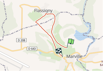

4,1 km | 5,2 km-effort


Tous les sentiers balisés d’Europe GUIDE+


Kostenlosegpshiking-Anwendung
 SityTrail
IGN / Geografische Institute
SityTrail World
Die Welt öffnet sich für Sie
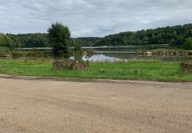
Tour Zu Fuß von 4,7 km verfügbar auf Großer Osten, Meuse, Marville. Diese Tour wird von SityTrail - itinéraires balisés pédestres vorgeschlagen.
Trail created by Office de tourisme transfrontalier du Pays de Montmédy, France.


Zu Fuß
Reiten

Wandern
Wandern

Wandern

Reiten

Wandern

Zu Fuß
Wandern