


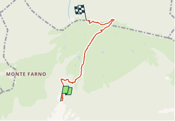

6,3 km | 15,6 km-effort

Tous les sentiers balisés d’Europe GUIDE+


Kostenlosegpshiking-Anwendung
 SityTrail
IGN / Geografische Institute
SityTrail World
Die Welt öffnet sich für Sie
Tour Zu Fuß von 4,6 km verfügbar auf Lombardei, Bergamo, Gandino. Diese Tour wird von SityTrail - itinéraires balisés pédestres vorgeschlagen.
Trail created by Comunità montana Valle Seriana.
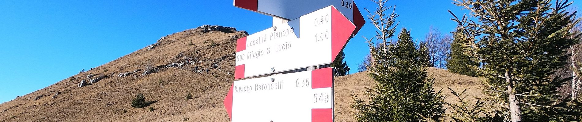
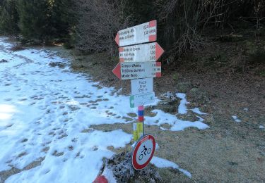
Symbol: white-red horizontal bars, sometimes with black text "549"


Zu Fuß
Zu Fuß
Zu Fuß