![](/images/other/stat-length.png)
![Tour Zu Fuß Alto Reno Terme - IT-143 - Photo](https://media.geolcdn.com/t/1900/400/9792fc3a-d6cb-463b-947b-822721eca185.jpeg&format=pjpeg&maxdim=2)
IT-143
SityTrail - itinéraires balisés pédestres
Tous les sentiers balisés d’Europe GUIDE+
![Länge](/images/other/stat-length.png)
Länge
9,9 km
![Maximale Höhe](https://static1.geolcdn.com/siteimages/upload/files/1508320355ic_sort_altitude_max_24dp.png)
Maximale Höhe
1479 m
![Positive Höhendifferenz](https://static1.geolcdn.com/siteimages/upload/files/1508320355ic_sort_den_pos_24dp.png)
Positive Höhendifferenz
946 m
![Km-Effort](/images/other/stat-length.png)
Km-Effort
20 km
![Min. Höhe](https://static1.geolcdn.com/siteimages/upload/files/1508320355ic_sort_altitude_min_24dp.png)
Min. Höhe
615 m
![Negative Höhendifferenz](https://static1.geolcdn.com/siteimages/upload/files/1508320355ic_sort_den_neg_24dp.png)
Negative Höhendifferenz
211 m
![Boucle](https://static1.geolcdn.com/siteimages/upload/files/16400158638029165_repeat_loop_refresh_sync_direction_icon.png)
Boucle
Nein
Kennzeichnung
Erstellungsdatum :
2022-02-14 22:24:52.822
Letzte Änderung :
2022-02-28 15:52:27.235
![Zu Fuß](https://static1.geolcdn.com/sitytour/trail-icons/100.png)
4h33
Schwierigkeit : Medium
![Scannen Sie diesen QR-Code, um die Tour in der SityTrail-Anwendung zu öffnen](https://capi.geolives.com/qq0zvz2zws4bq2lad0pu/sitytour/trails/3112032/qr.png?size=200)
Kostenlosegpshiking-Anwendung
Über SityTrail
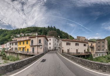
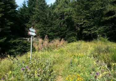
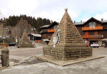
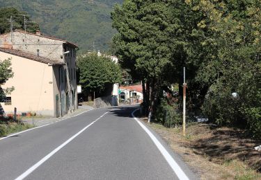
Tour Zu Fuß von 9,9 km verfügbar auf Emilia-Romagna, Bologna, Alto Reno Terme. Diese Tour wird von SityTrail - itinéraires balisés pédestres vorgeschlagen.
Beschreibung
Trail created by CAI Porretta Terme.
Website: http://www.caiporretta.it/
Ort
Land:
Italy
Region :
Emilia-Romagna
Abteilung/Provinz :
Bologna
Kommune :
Alto Reno Terme
Standort:
Unknown
Gehen Sie:(Dec)
Gehen Sie:(UTM)
653515 ; 4880675 (32T) N.
Kommentare
Touren in der Umgebung
![Tour Zu Fuß Sambuca Pistoiese - IT-155 - Photo](https://media.geolcdn.com/t/375/260/f18391dd-e81a-4b41-bb8f-708f9e311b13.jpeg&format=jpg&maxdim=2)
![Zu Fuß Zu Fuß](https://static1.geolcdn.com/sitytour/trail-icons/100.png)
IT-155
Zu Fuß
Sehr schwierig
Sambuca Pistoiese,
Toskana,
Pistoia,
Italy
![](/images/other/stat-length.png)
26 km | 47 km-effort
10h 42min
![](https://static1.geolcdn.com/siteimages/upload/files/16400158638029165_repeat_loop_refresh_sync_direction_icon.png)
Nein
![Tour Zu Fuß Pistoia - (SI L13) Pracchia - Lago Scaffaiolo - Photo](https://media.geolcdn.com/t/375/260/0f01b9d8-449a-4075-bdb2-32152f2e40dd.jpeg&format=jpg&maxdim=2)
![Zu Fuß Zu Fuß](https://static1.geolcdn.com/sitytour/trail-icons/100.png)
(SI L13) Pracchia - Lago Scaffaiolo
Zu Fuß
Medium
Pistoia,
Toskana,
Pistoia,
Italy
![](/images/other/stat-length.png)
14,8 km | 30 km-effort
6h 47min
![](https://static1.geolcdn.com/siteimages/upload/files/16400158638029165_repeat_loop_refresh_sync_direction_icon.png)
Nein
![Tour Zu Fuß Alto Reno Terme - IT-199 - Photo](https://media.geolcdn.com/t/375/260/837c7b1e-4426-4052-bd2b-49b56b8e1396.jpeg&format=jpg&maxdim=2)
![Zu Fuß Zu Fuß](https://static1.geolcdn.com/sitytour/trail-icons/100.png)
IT-199
Zu Fuß
Einfach
Alto Reno Terme,
Emilia-Romagna,
Bologna,
Italy
![](/images/other/stat-length.png)
5,1 km | 13,1 km-effort
2h 58min
![](https://static1.geolcdn.com/siteimages/upload/files/16400158638029165_repeat_loop_refresh_sync_direction_icon.png)
Nein
![Tour Zu Fuß Pistoia - Itinerario Pracchia-Abetone - Photo](https://media.geolcdn.com/t/375/260/e45850ca-9d49-4aba-bfa8-b4751d84c6db.jpeg&format=jpg&maxdim=2)
![Zu Fuß Zu Fuß](https://static1.geolcdn.com/sitytour/trail-icons/100.png)
Itinerario Pracchia-Abetone
Zu Fuß
Sehr schwierig
Pistoia,
Toskana,
Pistoia,
Italy
![](/images/other/stat-length.png)
53 km | 81 km-effort
18h 18min
![](https://static1.geolcdn.com/siteimages/upload/files/16400158638029165_repeat_loop_refresh_sync_direction_icon.png)
Nein
![Tour Zu Fuß Pistoia - Via Francesca della Sambuca - Photo](https://media.geolcdn.com/t/375/260/6937f428-5472-4f5c-88c3-df5918b6bb6d.jpeg&format=jpg&maxdim=2)
![Zu Fuß Zu Fuß](https://static1.geolcdn.com/sitytour/trail-icons/100.png)
Via Francesca della Sambuca
Zu Fuß
Einfach
Pistoia,
Toskana,
Pistoia,
Italy
![](/images/other/stat-length.png)
5,3 km | 6,8 km-effort
1h 32min
![](https://static1.geolcdn.com/siteimages/upload/files/16400158638029165_repeat_loop_refresh_sync_direction_icon.png)
Nein
![Tour Zu Fuß Pistoia - IT-212 - Photo](https://media.geolcdn.com/t/375/260/f3e0d2db-2e2a-441f-9c57-dd041ba178d5.jpeg&format=jpg&maxdim=2)
![Zu Fuß Zu Fuß](https://static1.geolcdn.com/sitytour/trail-icons/100.png)
![Tour Zu Fuß Alto Reno Terme - IT-141 - Photo](https://media.geolcdn.com/t/375/260/837c7b1e-4426-4052-bd2b-49b56b8e1396.jpeg&format=jpg&maxdim=2)
![Zu Fuß Zu Fuß](https://static1.geolcdn.com/sitytour/trail-icons/100.png)
IT-141
Zu Fuß
Einfach
Alto Reno Terme,
Emilia-Romagna,
Bologna,
Italy
![](/images/other/stat-length.png)
4,5 km | 7,4 km-effort
1h 40min
![](https://static1.geolcdn.com/siteimages/upload/files/16400158638029165_repeat_loop_refresh_sync_direction_icon.png)
Nein
![Tour Zu Fuß Pistoia - Orsigna - Fonte dell'Uccelliera - Photo](https://media.geolcdn.com/t/375/260/e6c0d80e-04db-46ff-b8f8-51515e0675c8.jpeg&format=jpg&maxdim=2)
![Zu Fuß Zu Fuß](https://static1.geolcdn.com/sitytour/trail-icons/100.png)
Orsigna - Fonte dell'Uccelliera
Zu Fuß
Einfach
Pistoia,
Toskana,
Pistoia,
Italy
![](/images/other/stat-length.png)
6,3 km | 14,8 km-effort
3h 22min
![](https://static1.geolcdn.com/siteimages/upload/files/16400158638029165_repeat_loop_refresh_sync_direction_icon.png)
Nein
![Tour Zu Fuß Alto Reno Terme - IT-153 - Photo](https://media.geolcdn.com/t/375/260/837c7b1e-4426-4052-bd2b-49b56b8e1396.jpeg&format=jpg&maxdim=2)
![Zu Fuß Zu Fuß](https://static1.geolcdn.com/sitytour/trail-icons/100.png)
IT-153
Zu Fuß
Medium
Alto Reno Terme,
Emilia-Romagna,
Bologna,
Italy
![](/images/other/stat-length.png)
12,3 km | 25 km-effort
5h 42min
![](https://static1.geolcdn.com/siteimages/upload/files/16400158638029165_repeat_loop_refresh_sync_direction_icon.png)
Nein