


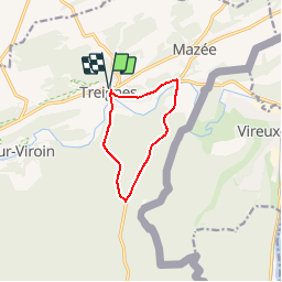


8,9 km | 12,7 km-effort

Randonnées au coeur d'une nature préservée GUIDE+


Kostenlosegpshiking-Anwendung
 SityTrail
IGN / Geografische Institute
SityTrail World
Die Welt öffnet sich für Sie
Tour Wandern von 7,7 km verfügbar auf Wallonien, Namur, Viroinval. Diese Tour wird von La Forêt du Pays de Chimay vorgeschlagen.
Balisage
vert-blanc-vert
Bewegwijzering
groen-wit-groen

Wandern

Wandern

Wandern

Wandern
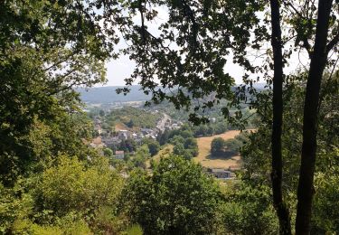
Wandern

Wandern

Wandern

Mountainbike

Nordic Walking