


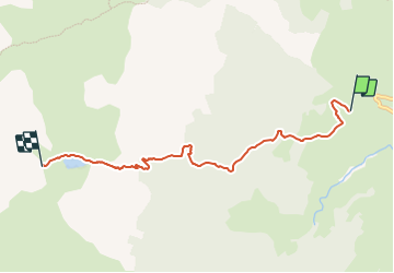

5,4 km | 7,4 km-effort

Tous les sentiers balisés d’Europe GUIDE+


Kostenlosegpshiking-Anwendung
 SityTrail
IGN / Geografische Institute
SityTrail World
Die Welt öffnet sich für Sie
Tour Zu Fuß von 5,9 km verfügbar auf Neu-Aquitanien, Pyrenäen-Atlantik, Lescun. Diese Tour wird von SityTrail - itinéraires balisés pédestres vorgeschlagen.
Trail created by Communauté de Communes du Haut-Béarn.
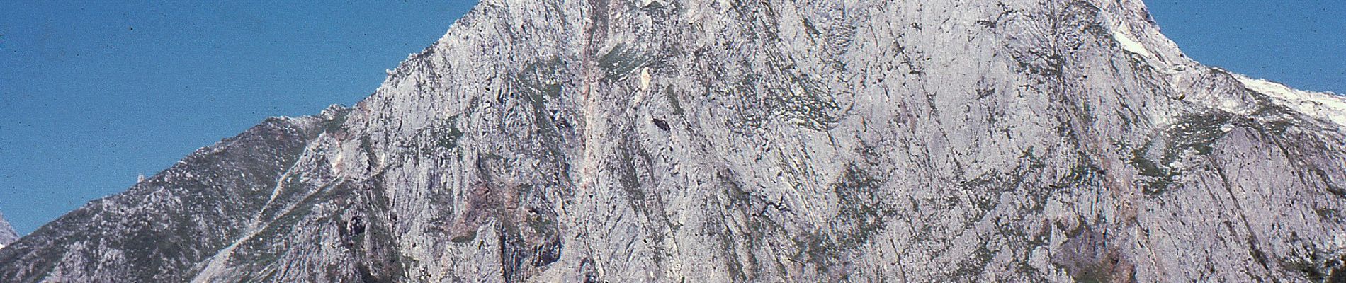
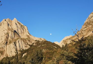
Randonnée difficile 5h10 aller-retour
Symbol: bar
Website: https://umap.openstreetmap.fr/fr/map/sentiers-de-la-vallee-daspe_163874#14/42.9204/-0.6697


Wandern

Wandern

Zu Fuß

Zu Fuß

Zu Fuß

Wandern
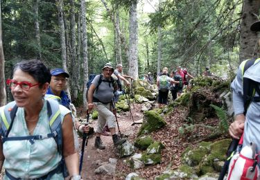
Wandern

Wandern
Wandern