
Sentiero di Val Manara
SityTrail - itinéraires balisés pédestres
Tous les sentiers balisés d’Europe GUIDE+

Länge
4,7 km

Maximale Höhe
1387 m

Positive Höhendifferenz
47 m

Km-Effort
7,9 km

Min. Höhe
621 m

Negative Höhendifferenz
808 m
Boucle
Nein
Kennzeichnung
Erstellungsdatum :
2022-02-14 21:42:28.633
Letzte Änderung :
2022-02-28 13:52:37.427
1h47
Schwierigkeit : Einfach

Kostenlosegpshiking-Anwendung
Über SityTrail
Tour Zu Fuß von 4,7 km verfügbar auf Trentino-Südtirol, Provincia di Trento, Fai della Paganella. Diese Tour wird von SityTrail - itinéraires balisés pédestres vorgeschlagen.
Beschreibung
Trail created by Società degli Alpinisti Tridentini.
Website: http://www.sat.tn.it/
Ort
Land:
Italy
Region :
Trentino-Südtirol
Abteilung/Provinz :
Provincia di Trento
Kommune :
Fai della Paganella
Standort:
Unknown
Gehen Sie:(Dec)
Gehen Sie:(UTM)
658872 ; 5116426 (32T) N.
Kommentare
Touren in der Umgebung
Giro del Pausior


Zu Fuß
Einfach
Fai della Paganella,
Trentino-Südtirol,
Provincia di Trento,
Italy

7,6 km | 14,6 km-effort
3h 19min
Nein
Sentiero della scaletta, delle Fratte, strada per Pralungo, sentiero Crozi di...


Zu Fuß
Einfach
Trient,
Trentino-Südtirol,
Provincia di Trento,
Italy

6,6 km | 13 km-effort
2h 57min
Nein
IT-O602C


Zu Fuß
Einfach
Mezzolombardo,
Trentino-Südtirol,
Provincia di Trento,
Italy

3,5 km | 5,6 km-effort
1h 16min
Nein
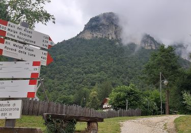
IT-O506


Zu Fuß
Einfach
Mezzocorona,
Trentino-Südtirol,
Provincia di Trento,
Italy

4,3 km | 10,8 km-effort
2h 26min
Nein
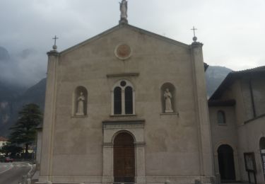
IT-O602B


Zu Fuß
Einfach
Fai della Paganella,
Trentino-Südtirol,
Provincia di Trento,
Italy

4,7 km | 7,2 km-effort
1h 38min
Nein

IT-O604


Zu Fuß
Einfach
Mezzolombardo,
Trentino-Südtirol,
Provincia di Trento,
Italy

3,6 km | 6,4 km-effort
1h 27min
Nein

IT-O302


Zu Fuß
Einfach
Spormaggiore,
Trentino-Südtirol,
Provincia di Trento,
Italy

3,5 km | 4,9 km-effort
1h 6min
Nein

Senter dei Pontesei


Zu Fuß
Einfach
Fai della Paganella,
Trentino-Südtirol,
Provincia di Trento,
Italy

6,4 km | 11,9 km-effort
2h 42min
Nein
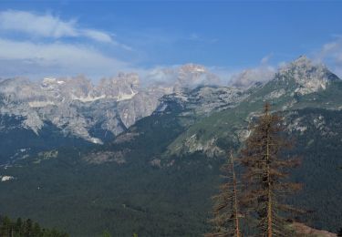
Paganella


Wandern
Medium
Andalo,
Trentino-Südtirol,
Provincia di Trento,
Italy

10,8 km | 26 km-effort
2h 20min
Nein


 SityTrail


