


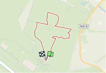

4,3 km | 4,9 km-effort

Tous les sentiers balisés d’Europe GUIDE+


Kostenlosegpshiking-Anwendung
 SityTrail
IGN / Geografische Institute
SityTrail World
Die Welt öffnet sich für Sie
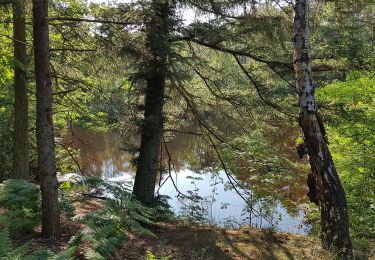
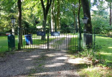
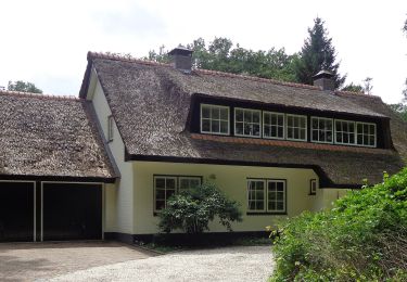
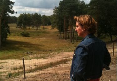
Tour Zu Fuß von 3,2 km verfügbar auf Utrecht, Unbekannt, Soest. Diese Tour wird von SityTrail - itinéraires balisés pédestres vorgeschlagen.
Trail created by Utrechts Landschap.
Website: https://www.utrechtslandschap.nl/routes/wandelen/de-paltz


Zu Fuß
Zu Fuß
Zu Fuß
Zu Fuß
Zu Fuß

Zu Fuß
Andere Aktivitäten

Motor
Motor