


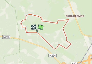

3,4 km | 3,7 km-effort

Tous les sentiers balisés d’Europe PRO


Kostenlosegpshiking-Anwendung
 SityTrail
IGN / Geografische Institute
SityTrail World
Die Welt öffnet sich für Sie
Tour Zu Fuß von 7,3 km verfügbar auf Geldern, Unbekannt, Ede. Diese Tour wird von SityTrail - itinéraires balisés pédestres vorgeschlagen.
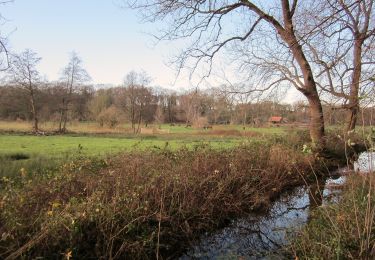
Trail created by Natuurmonumenten.
Symbol: Yellow dot painted on stones


Zu Fuß
Zu Fuß
Zu Fuß
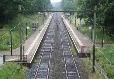
Zu Fuß
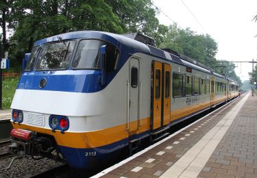
Zu Fuß


Zu Fuß
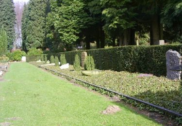
Zu Fuß