


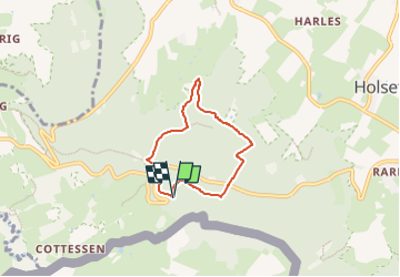

9,5 km | 12 km-effort


Tous les sentiers balisés d’Europe GUIDE+


Kostenlosegpshiking-Anwendung
 SityTrail
IGN / Geografische Institute
SityTrail World
Die Welt öffnet sich für Sie
Tour Zu Fuß von 4,4 km verfügbar auf Limburg, Unbekannt, Vaals. Diese Tour wird von SityTrail - itinéraires balisés pédestres vorgeschlagen.
Trail created by Staatsbosbeheer.
Website: https://www.visitzuidlimburg.nl/te-doen-in-zuid-limburg/routes-in-zuid-limburg/detail/vijlenerbosroute-sbb34-vaals/60098/


Wandern

Wandern
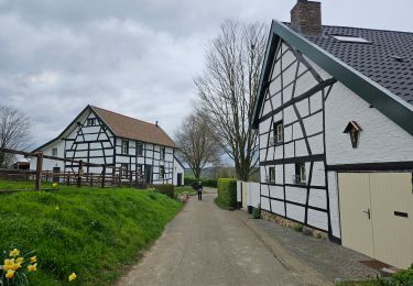
Wandern

Wandern

Wandern

Wandern

Wandern
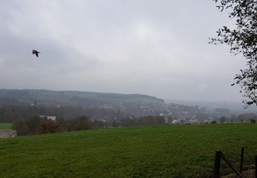
Wandern

Wandern