


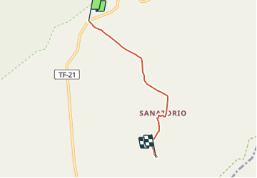

11,3 km | 19,8 km-effort

Tous les sentiers balisés d’Europe GUIDE+


Kostenlosegpshiking-Anwendung
 SityTrail
IGN / Geografische Institute
SityTrail World
Die Welt öffnet sich für Sie
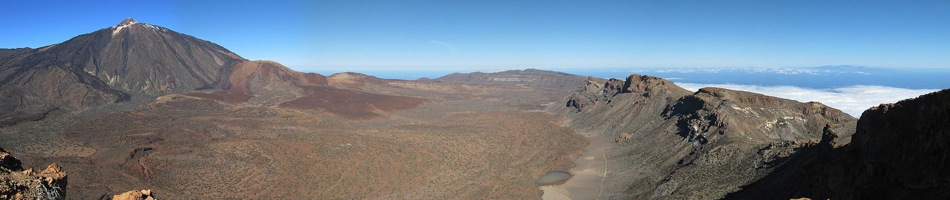
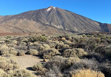
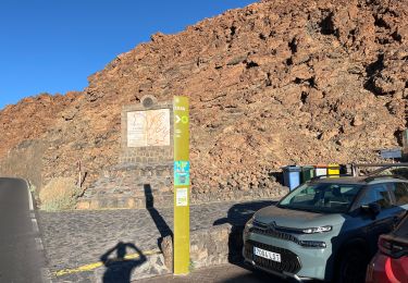
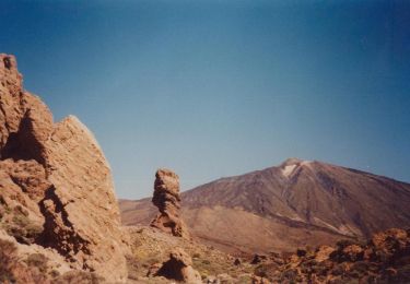
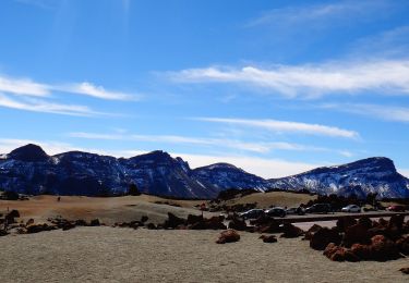
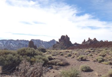
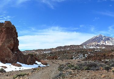
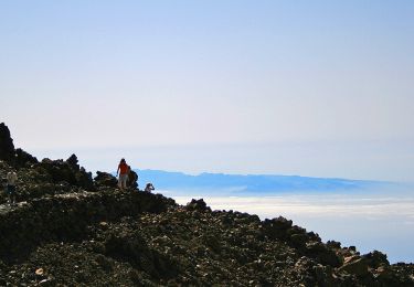
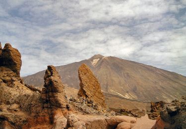
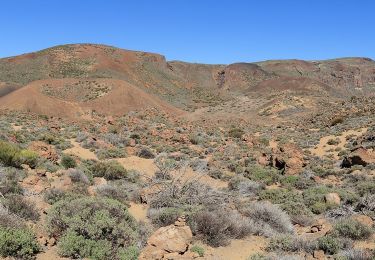
Tour Zu Fuß von 4,6 km verfügbar auf Kanarische Inseln, Santa Cruz de Tenerife, La Orotava. Diese Tour wird von SityTrail - itinéraires balisés pédestres vorgeschlagen.
Trail created by Parque Nacional del Teide.


Zu Fuß
Wandern
Zu Fuß
Zu Fuß
Zu Fuß
Zu Fuß
Zu Fuß
Zu Fuß
Zu Fuß