![](/images/other/stat-length.png)
![Tour Zu Fuß Los Realejos - S-4 Siete Cañadas - Photo](https://media.geolcdn.com/t/1900/400/06231755-d0f7-4af5-a920-fd86fbfc3bb9.jpeg&format=pjpeg&maxdim=2)
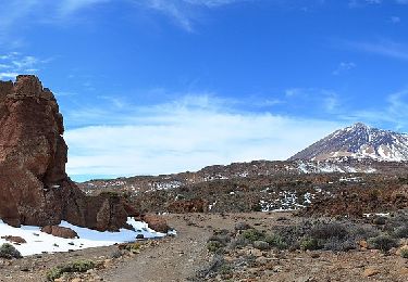
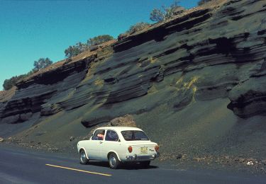
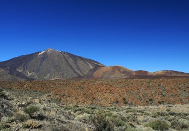
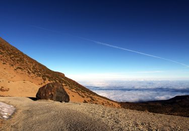
S-4 Siete Cañadas
SityTrail - itinéraires balisés pédestres
Tous les sentiers balisés d’Europe GUIDE+
![Länge](/images/other/stat-length.png)
Länge
16,4 km
![Maximale Höhe](https://static1.geolcdn.com/siteimages/upload/files/1508320355ic_sort_altitude_max_24dp.png)
Maximale Höhe
2210 m
![Positive Höhendifferenz](https://static1.geolcdn.com/siteimages/upload/files/1508320355ic_sort_den_pos_24dp.png)
Positive Höhendifferenz
338 m
![Km-Effort](/images/other/stat-length.png)
Km-Effort
21 km
![Min. Höhe](https://static1.geolcdn.com/siteimages/upload/files/1508320355ic_sort_altitude_min_24dp.png)
Min. Höhe
2039 m
![Negative Höhendifferenz](https://static1.geolcdn.com/siteimages/upload/files/1508320355ic_sort_den_neg_24dp.png)
Negative Höhendifferenz
245 m
![Boucle](https://static1.geolcdn.com/siteimages/upload/files/16400158638029165_repeat_loop_refresh_sync_direction_icon.png)
Boucle
Nein
Kennzeichnung
Erstellungsdatum :
2022-02-14 14:19:53.444
Letzte Änderung :
2022-02-14 14:19:53.444
![Zu Fuß](https://static1.geolcdn.com/sitytour/trail-icons/100.png)
4h41
Schwierigkeit : Medium
![Scannen Sie diesen QR-Code, um die Tour in der SityTrail-Anwendung zu öffnen](https://capi.geolives.com/qq0zvz2zws4bq2lad0pu/sitytour/trails/3108207/qr.png?size=200)
Kostenlosegpshiking-Anwendung
Über SityTrail
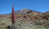
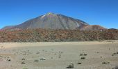
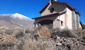
Tour Zu Fuß von 16,4 km verfügbar auf Kanarische Inseln, Santa Cruz de Tenerife, Los Realejos. Diese Tour wird von SityTrail - itinéraires balisés pédestres vorgeschlagen.
Beschreibung
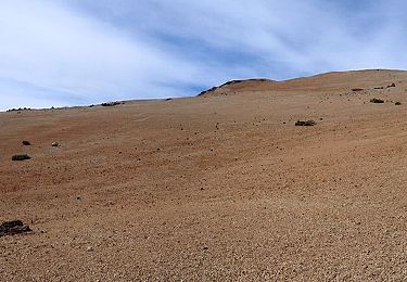
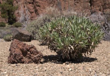
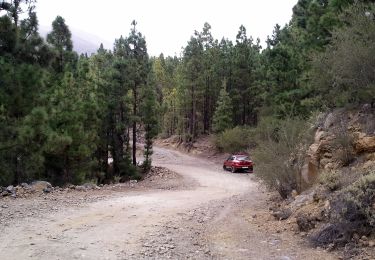
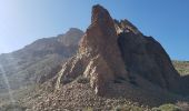
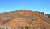
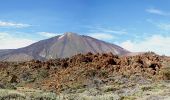
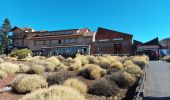
Trail created by Parque Nacional del Teide.
Ort
Land:
Spain
Region :
Kanarische Inseln
Abteilung/Provinz :
Santa Cruz de Tenerife
Kommune :
Los Realejos
Standort:
Unknown
Gehen Sie:(Dec)
Gehen Sie:(UTM)
346415 ; 3131861 (28R) N.
Kommentare
Touren in der Umgebung
![Tour Wandern La Orotava - Montana Blanca Refuge Altavista Forteleza La Rambletta Teide 3718 m - Photo](https://media.geolcdn.com/t/375/260/382576d2-1cef-40f9-b6a1-573ec62ffcb6.jpg&format=jpg&maxdim=2)
![Wandern Wandern](https://static1.geolcdn.com/sitytour/trail-icons/101.png)
Montana Blanca Refuge Altavista Forteleza La Rambletta Teide 3718 m
Wandern
Sehr schwierig
La Orotava,
Kanarische Inseln,
Santa Cruz de Tenerife,
Spain
![](/images/other/stat-length.png)
18,4 km | 36 km-effort
8h 16min
![](https://static1.geolcdn.com/siteimages/upload/files/16400158638029165_repeat_loop_refresh_sync_direction_icon.png)
Ja
![Tour Zu Fuß La Orotava - S-30 Los Valles - Photo](https://media.geolcdn.com/t/375/260/281af76a-1e1a-4300-89ab-f6674754c3ad.jpeg&format=jpg&maxdim=2)
![Zu Fuß Zu Fuß](https://static1.geolcdn.com/sitytour/trail-icons/100.png)
S-30 Los Valles
Zu Fuß
Einfach
La Orotava,
Kanarische Inseln,
Santa Cruz de Tenerife,
Spain
![](/images/other/stat-length.png)
4,9 km | 5,8 km-effort
1h 18min
![](https://static1.geolcdn.com/siteimages/upload/files/16400158638029165_repeat_loop_refresh_sync_direction_icon.png)
Nein
![Tour Zu Fuß La Orotava - S-21 Corral del Niño-Mal Abrigo - Photo](https://media.geolcdn.com/t/375/260/d1c2d471-fbe3-4d9d-95f3-29203742f183.jpeg&format=jpg&maxdim=2)
![Zu Fuß Zu Fuß](https://static1.geolcdn.com/sitytour/trail-icons/100.png)
S-21 Corral del Niño-Mal Abrigo
Zu Fuß
Einfach
La Orotava,
Kanarische Inseln,
Santa Cruz de Tenerife,
Spain
![](/images/other/stat-length.png)
5,3 km | 6,9 km-effort
1h 34min
![](https://static1.geolcdn.com/siteimages/upload/files/16400158638029165_repeat_loop_refresh_sync_direction_icon.png)
Nein
![Tour Zu Fuß La Orotava - S-8 El Filo - Photo](https://media.geolcdn.com/t/375/260/94f6261c-46af-4d4c-a4b3-6288b890a54d.jpeg&format=jpg&maxdim=2)
![Zu Fuß Zu Fuß](https://static1.geolcdn.com/sitytour/trail-icons/100.png)
S-8 El Filo
Zu Fuß
Einfach
La Orotava,
Kanarische Inseln,
Santa Cruz de Tenerife,
Spain
![](/images/other/stat-length.png)
14,2 km | 19,7 km-effort
4h 29min
![](https://static1.geolcdn.com/siteimages/upload/files/16400158638029165_repeat_loop_refresh_sync_direction_icon.png)
Nein
![Tour Zu Fuß Los Realejos - S-22 Lomo Hurtado - Photo](https://media.geolcdn.com/t/375/260/36653422-136c-4699-a446-bdcd02c297af.jpeg&format=jpg&maxdim=2)
![Zu Fuß Zu Fuß](https://static1.geolcdn.com/sitytour/trail-icons/100.png)
S-22 Lomo Hurtado
Zu Fuß
Einfach
Los Realejos,
Kanarische Inseln,
Santa Cruz de Tenerife,
Spain
![](/images/other/stat-length.png)
4,9 km | 9,3 km-effort
2h 6min
![](https://static1.geolcdn.com/siteimages/upload/files/16400158638029165_repeat_loop_refresh_sync_direction_icon.png)
Nein
![Tour Zu Fuß Los Realejos - S-6 Montaña de Los Tomillos - Photo](https://media.geolcdn.com/t/375/260/f9cd0d8d-8278-4ad9-9ac9-301cd0450900.jpeg&format=jpg&maxdim=2)
![Zu Fuß Zu Fuß](https://static1.geolcdn.com/sitytour/trail-icons/100.png)
S-6 Montaña de Los Tomillos
Zu Fuß
Einfach
Los Realejos,
Kanarische Inseln,
Santa Cruz de Tenerife,
Spain
![](/images/other/stat-length.png)
5,1 km | 9,7 km-effort
2h 12min
![](https://static1.geolcdn.com/siteimages/upload/files/16400158638029165_repeat_loop_refresh_sync_direction_icon.png)
Nein
![Tour Zu Fuß Los Realejos - S-1 La Fortaleza - Photo](https://media.geolcdn.com/t/375/260/47a3e865-47b4-496f-8cd0-2d71fa03ec5a.jpeg&format=jpg&maxdim=2)
![Zu Fuß Zu Fuß](https://static1.geolcdn.com/sitytour/trail-icons/100.png)
S-1 La Fortaleza
Zu Fuß
Einfach
Los Realejos,
Kanarische Inseln,
Santa Cruz de Tenerife,
Spain
![](/images/other/stat-length.png)
5,6 km | 7,1 km-effort
1h 36min
![](https://static1.geolcdn.com/siteimages/upload/files/16400158638029165_repeat_loop_refresh_sync_direction_icon.png)
Nein
![Tour Zu Fuß Los Realejos - Camino de Chasna - Photo](https://media.geolcdn.com/t/375/260/06a480ee-969e-4471-a1c2-cbf63e19ec0d.jpeg&format=jpg&maxdim=2)
![Zu Fuß Zu Fuß](https://static1.geolcdn.com/sitytour/trail-icons/100.png)
Camino de Chasna
Zu Fuß
Medium
Los Realejos,
Kanarische Inseln,
Santa Cruz de Tenerife,
Spain
![](/images/other/stat-length.png)
22 km | 30 km-effort
6h 52min
![](https://static1.geolcdn.com/siteimages/upload/files/16400158638029165_repeat_loop_refresh_sync_direction_icon.png)
Nein
![Tour Zu Fuß San Juan de la Rambla - S-33 Montaña Negra - Photo](https://media.geolcdn.com/t/375/260/47a3e865-47b4-496f-8cd0-2d71fa03ec5a.jpeg&format=jpg&maxdim=2)
![Zu Fuß Zu Fuß](https://static1.geolcdn.com/sitytour/trail-icons/100.png)
S-33 Montaña Negra
Zu Fuß
Einfach
San Juan de la Rambla,
Kanarische Inseln,
Santa Cruz de Tenerife,
Spain
![](/images/other/stat-length.png)
3,1 km | 4,7 km-effort
1h 4min
![](https://static1.geolcdn.com/siteimages/upload/files/16400158638029165_repeat_loop_refresh_sync_direction_icon.png)
Nein