


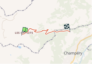

9,6 km | 17,9 km-effort

Tous les sentiers balisés d’Europe GUIDE+


Kostenlosegpshiking-Anwendung
 SityTrail
IGN / Geografische Institute
SityTrail World
Die Welt öffnet sich für Sie
Tour Zu Fuß von 3,6 km verfügbar auf Wallis, Monthey, Val-d'Illiez. Diese Tour wird von SityTrail - itinéraires balisés pédestres vorgeschlagen.
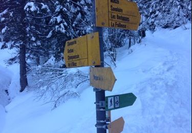
Symbol: gelbe Raute


Wandern

Wandern

Wandern
Wandern
Wandern
Schneeschuhwandern
Wandern
Mountainbike