


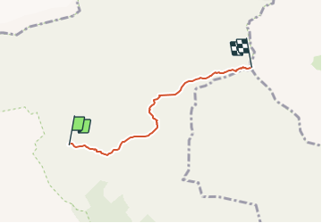

7,1 km | 10,9 km-effort


Tous les sentiers balisés d’Europe GUIDE+


Kostenlosegpshiking-Anwendung
 SityTrail
IGN / Geografische Institute
SityTrail World
Die Welt öffnet sich für Sie
Tour Zu Fuß von 3,8 km verfügbar auf Wallis, Siders, Crans-Montana. Diese Tour wird von SityTrail - itinéraires balisés pédestres vorgeschlagen.
Montagne du Plan - Trubelstock


Wandern

Zu Fuß
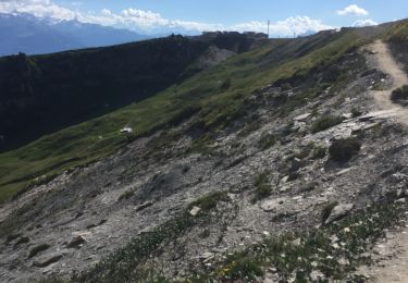
Wandern

Andere Aktivitäten

Wandern
Wandern
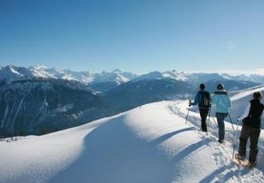
Schneeschuhwandern

Wandern
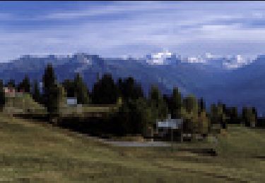
Mountainbike