


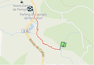

17,3 km | 26 km-effort

Benutzer


Kostenlosegpshiking-Anwendung
 SityTrail
IGN / Geografische Institute
SityTrail World
Die Welt öffnet sich für Sie
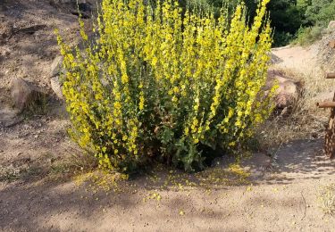
Tour Wandern von 785 m verfügbar auf Provence-Alpes-Côte d'Azur, Var, Callas. Diese Tour wird von ericf64 vorgeschlagen.
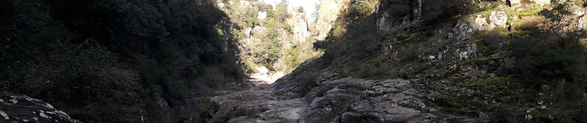
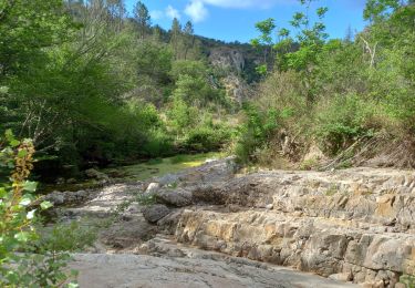
40 minutes aller-retour. la deuxième partie du chemin se transforme en passage entre les baignoires sur les rochers au fond de la gorge. très jolie


Wandern

Wandern

Wandern

Wandern

Wandern
Wandern
Zu Fuß
Wandern
Wandern