


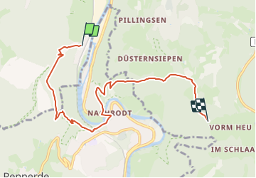

16,6 km | 24 km-effort

Tous les sentiers balisés d’Europe GUIDE+


Kostenlosegpshiking-Anwendung
 SityTrail
IGN / Geografische Institute
SityTrail World
Die Welt öffnet sich für Sie
Tour Zu Fuß von 6,8 km verfügbar auf Nordrhein-Westfalen, Märkischer Kreis, Iserlohn. Diese Tour wird von SityTrail - itinéraires balisés pédestres vorgeschlagen.
Trail created by Sauerländischer Gebirgsverein.


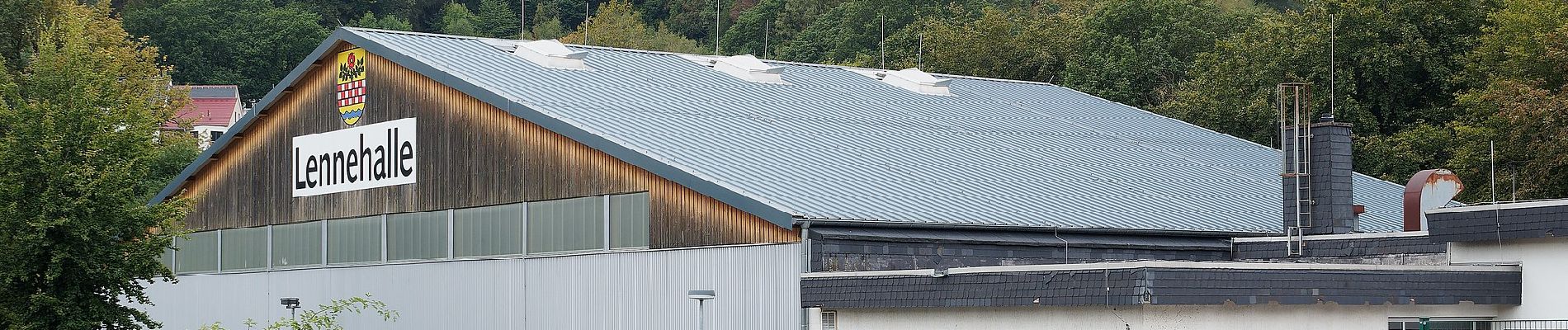
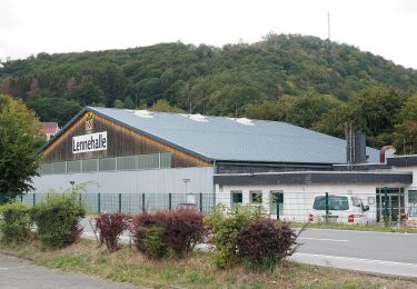
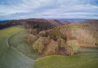
![Tour Zu Fuß Altena - [-] Oberhalb der Nette - Photo](https://media.geolcdn.com/t/375/260/19ece288-5282-46fa-9081-4f184482635d.jpeg&format=jpg&maxdim=2)
Zu Fuß
Zu Fuß
Zu Fuß
Zu Fuß
Zu Fuß
Zu Fuß
Zu Fuß
Zu Fuß
Zu Fuß