


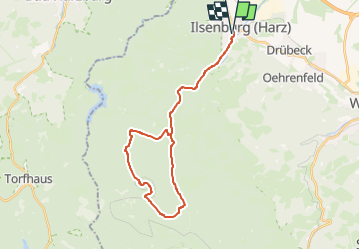

15,6 km | 23 km-effort


Tous les sentiers balisés d’Europe GUIDE+


Kostenlosegpshiking-Anwendung
 SityTrail
IGN / Geografische Institute
SityTrail World
Die Welt öffnet sich für Sie
Tour Zu Fuß von 26 km verfügbar auf Sachsen-Anhalt, Landkreis Harz, Ilsenburg. Diese Tour wird von SityTrail - itinéraires balisés pédestres vorgeschlagen.
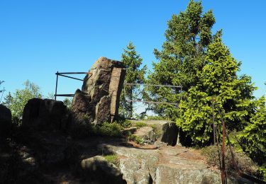
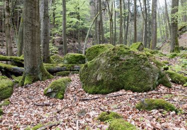
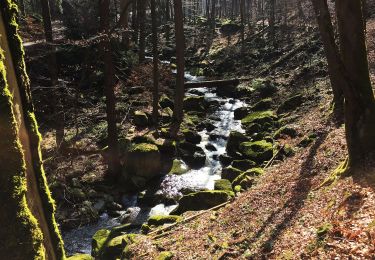
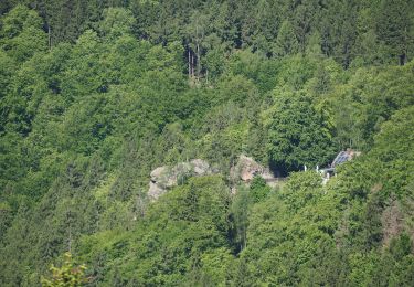
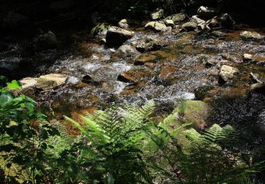
Der älteste Berglauf Deutschlands wartet nicht nur mit wundervollen Strecken durch die Harzer Natur, schnuppern Sie bei uns auch echte Geschichte aus vielen Jahrzehnten.
Zu Fuß
Zu Fuß
Zu Fuß
Zu Fuß
Zu Fuß
Zu Fuß
Zu Fuß

Zu Fuß

Zu Fuß