


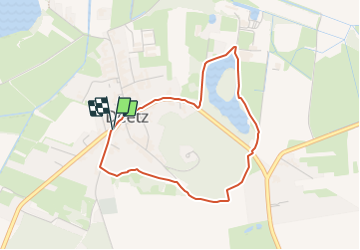

7,9 km | 8,6 km-effort

Tous les sentiers balisés d’Europe GUIDE+


Kostenlosegpshiking-Anwendung
 SityTrail
IGN / Geografische Institute
SityTrail World
Die Welt öffnet sich für Sie
Tour Zu Fuß von 3,1 km verfügbar auf Brandenburg, Potsdam-Mittelmark, Groß Kreutz (Havel). Diese Tour wird von SityTrail - itinéraires balisés pédestres vorgeschlagen.
Symbol: yellow dot on white background
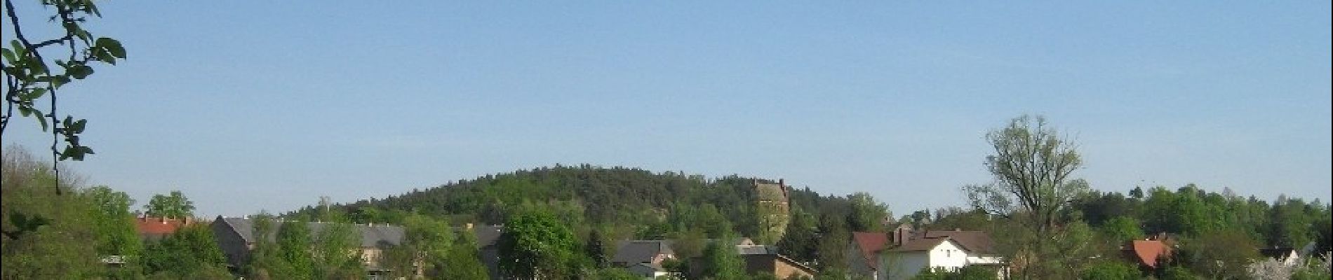
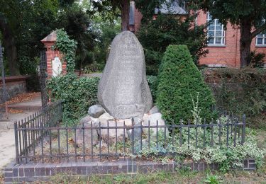
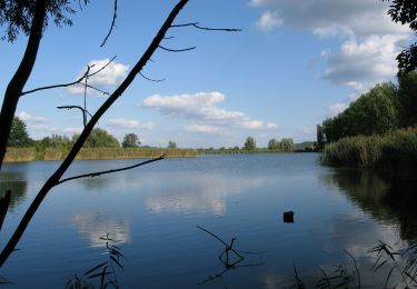
 - Mühlenrundweg - Photo 1")
Zu Fuß
Zu Fuß
Zu Fuß
Zu Fuß
Zu Fuß
Zu Fuß
Zu Fuß
Zu Fuß
Zu Fuß