


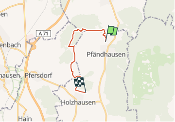

4,7 km | 5,8 km-effort

Tous les sentiers balisés d’Europe GUIDE+


Kostenlosegpshiking-Anwendung
 SityTrail
IGN / Geografische Institute
SityTrail World
Die Welt öffnet sich für Sie
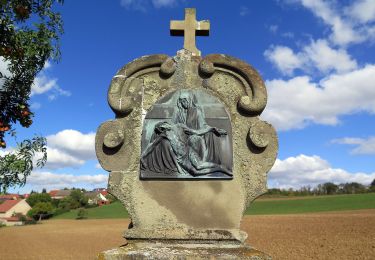
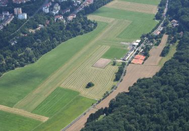
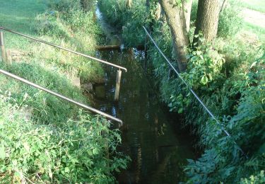
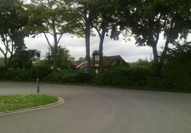
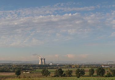
Tour Zu Fuß von 7,1 km verfügbar auf Bayern, Landkreis Schweinfurt, Dittelbrunn. Diese Tour wird von SityTrail - itinéraires balisés pédestres vorgeschlagen.
Symbol: light brown shoe on dark brown dot


Zu Fuß
Zu Fuß
Zu Fuß
Zu Fuß

Zu Fuß
Zu Fuß

Zu Fuß
Zu Fuß
Zu Fuß