


4,5 km | 5,9 km-effort


Tous les sentiers balisés d’Europe GUIDE+


Kostenlosegpshiking-Anwendung
 SityTrail
IGN / Geografische Institute
SityTrail World
Die Welt öffnet sich für Sie
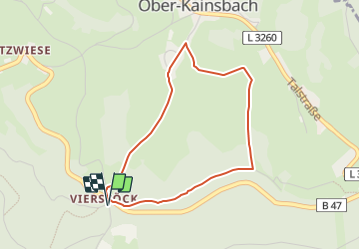
Tour Zu Fuß von 3,3 km verfügbar auf Hessen, Odenwaldkreis, Reichelsheim (Odenwald). Diese Tour wird von SityTrail - itinéraires balisés pédestres vorgeschlagen.
Trail created by Geo-Naturpark Bergstraße-Odenwald.
Symbol: gelbe 6 im gelben Kreis
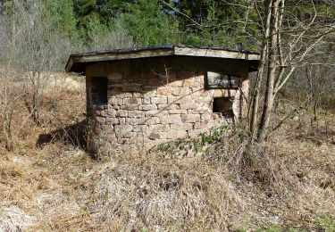
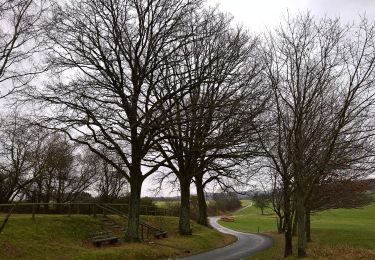
 - Rundwanderweg Vierstöck 6: Knösberg-Weg - Photo 1")
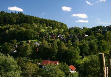
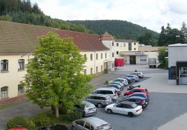
 - Rundwanderweg Vierstöck 6: Knösberg-Weg - Photo 2")
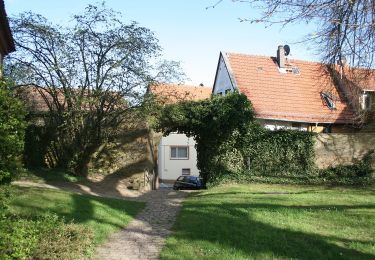
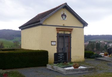
 - Rundwanderweg Vierstöck 6: Knösberg-Weg - Photo 3")
 - Rundwanderweg Vierstöck 6: Knösberg-Weg - Photo 4")
Zu Fuß
Zu Fuß
Zu Fuß
Zu Fuß
Zu Fuß
Zu Fuß
Zu Fuß
Zu Fuß
Zu Fuß