


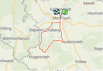

13,6 km | 16,8 km-effort

Tous les sentiers balisés d’Europe GUIDE+


Kostenlosegpshiking-Anwendung
 SityTrail
IGN / Geografische Institute
SityTrail World
Die Welt öffnet sich für Sie
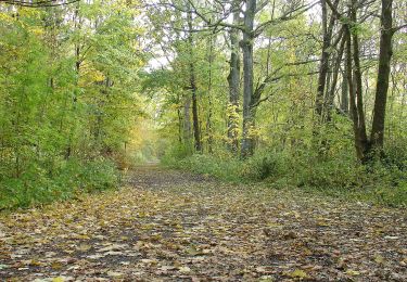
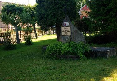
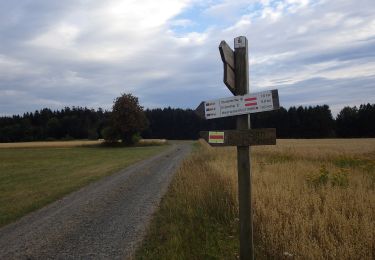
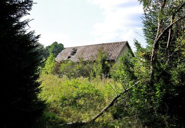
Tour Zu Fuß von 9,9 km verfügbar auf Bayern, Landkreis Neustadt an der Waldnaab, Moosbach. Diese Tour wird von SityTrail - itinéraires balisés pédestres vorgeschlagen.
Trail created by Oberpfälzer Waldverein.
Symbol: blue 3 on white background


Zu Fuß
Zu Fuß
![Tour Zu Fuß Waier - [M] Rybník - Rybník CZ/D - Photo](https://media.geolcdn.com/t/375/260/3e72288d-7700-4a27-9695-4c0fe2037764.jpeg&format=jpg&maxdim=2)
Zu Fuß
![Tour Zu Fuß Roßhaupt - [M] Okružní naučná stezka Kolowratova - Photo](https://media.geolcdn.com/t/375/260/48bd39eb-9e5f-4fa1-b21c-b0525a6f7f06.jpeg&format=jpg&maxdim=2)
Zu Fuß
![Tour Zu Fuß Schönwald - [Z] naučná stezka historie sklářství - Photo](https://media.geolcdn.com/t/375/260/4bc902d5-239d-46bc-9e59-dc21d99fa2b6.jpeg&format=jpg&maxdim=2)
Zu Fuß
Zu Fuß
Zu Fuß
Zu Fuß
Zu Fuß