


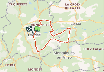

12,5 km | 16,6 km-effort

Benutzer


Kostenlosegpshiking-Anwendung
 SityTrail
IGN / Geografische Institute
SityTrail World
Die Welt öffnet sich für Sie
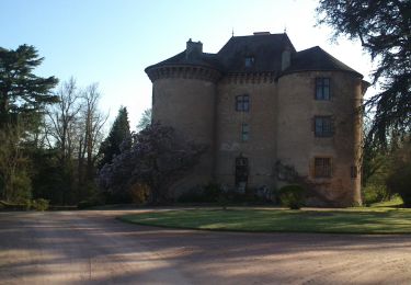
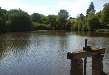
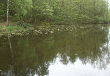
Tour Wandern von 13,7 km verfügbar auf Auvergne-Rhone-Alpen, Allier, Loddes. Diese Tour wird von coco03 vorgeschlagen.
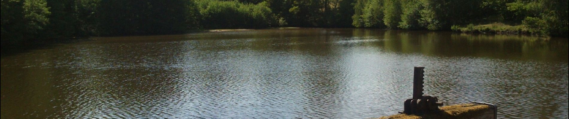
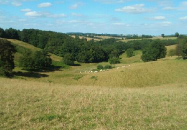
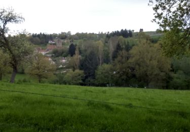
Circuit (route et chemins)agréable, assez ombragé avec de nombreux passages dans les bois. La pause à l'étang du moulin est très agréable.
 - Photo 1")
Wandern

Mountainbike
Wandern
Wandern
Wandern

Mountainbike
Wandern

Wandern
Fahrrad