


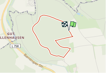

11,1 km | 14,3 km-effort

Tous les sentiers balisés d’Europe GUIDE+


Kostenlosegpshiking-Anwendung
 SityTrail
IGN / Geografische Institute
SityTrail World
Die Welt öffnet sich für Sie
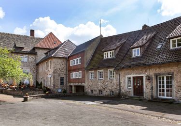
Tour Zu Fuß von 3 km verfügbar auf Nordrhein-Westfalen, Kreis Lippe, Barntrup. Diese Tour wird von SityTrail - itinéraires balisés pédestres vorgeschlagen.
Symbol: Rotes Eichhörnchen auf weißem Grund
Website: http://www.wanderregion-nordlippe.de/de/wanderwege/rundwanderwege/eichhoernchenweg.php


Zu Fuß
Zu Fuß
Zu Fuß

Zu Fuß