


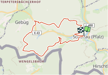

15,6 km | 25 km-effort

Tous les sentiers balisés d’Europe GUIDE+


Kostenlosegpshiking-Anwendung
 SityTrail
IGN / Geografische Institute
SityTrail World
Die Welt öffnet sich für Sie
Tour Zu Fuß von 9,2 km verfügbar auf Rheinland-Pfalz, Südwestpfalz, Schönau (Pfalz). Diese Tour wird von SityTrail - itinéraires balisés pédestres vorgeschlagen.
Trail created by Tourist Information Dahner Felsenland.
Symbol: Stilisierter weiß-schwarzer Dachskopf auf weißem Grund mit schwarzer Unterschrift "Dachs-Weg"
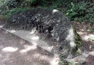
 - Dachs-Weg - Photo 1")
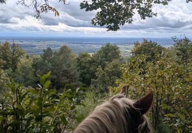
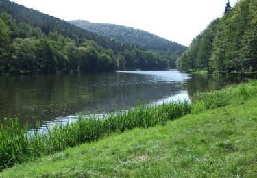
 - Dachs-Weg - Photo 2")
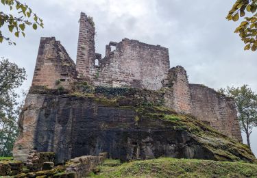
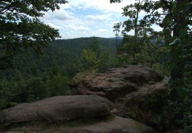
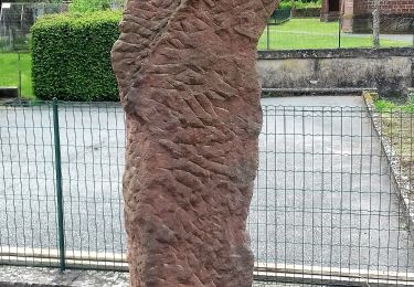
 - Dachs-Weg - Photo 3")
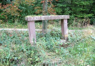
 - Dachs-Weg - Photo 4")
 - Dachs-Weg - Photo 5")
 - Dachs-Weg - Photo 6")
 - Dachs-Weg - Photo 7")
 - Dachs-Weg - Photo 8")
 - Dachs-Weg - Photo 9")
 - Dachs-Weg - Photo 10")

Wandern
Reiten
Reiten

Reiten
Zu Fuß
Zu Fuß
Zu Fuß
Zu Fuß
Zu Fuß