


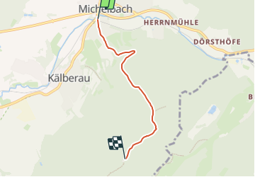

6,3 km | 8,8 km-effort

Tous les sentiers balisés d’Europe GUIDE+


Kostenlosegpshiking-Anwendung
 SityTrail
IGN / Geografische Institute
SityTrail World
Die Welt öffnet sich für Sie
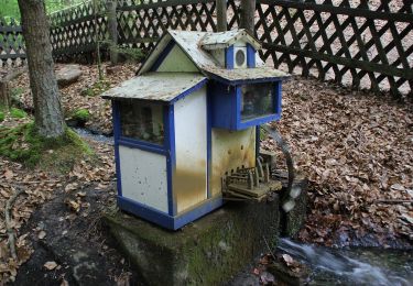
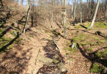
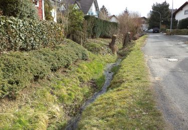
Tour Zu Fuß von 3,6 km verfügbar auf Bayern, Landkreis Aschaffenburg, Alzenau. Diese Tour wird von SityTrail - itinéraires balisés pédestres vorgeschlagen.
Trail created by Spessartbund.
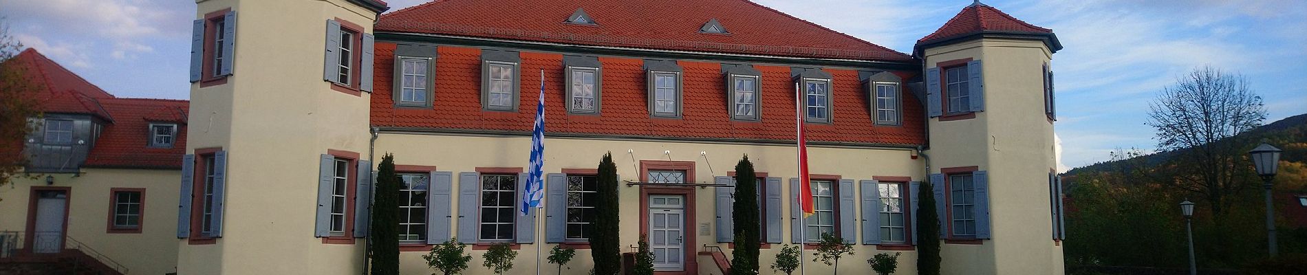
Symbol: Weißes Schild mit schwarzer Schrift. Oben "Alzenau", darunter ein großes "A", rechts daneben eine kleinere 3


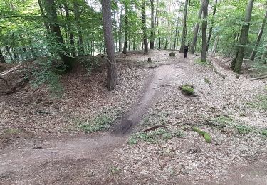
Zu Fuß
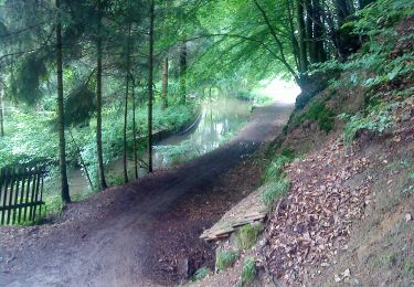
Zu Fuß
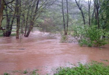
Zu Fuß
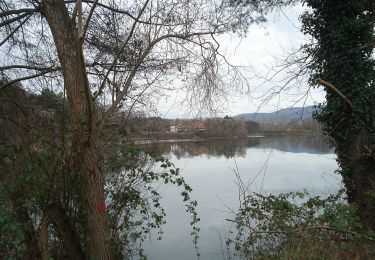
Zu Fuß
Zu Fuß
Zu Fuß
Zu Fuß
Zu Fuß
Zu Fuß