


18 km | 24 km-effort

Tous les sentiers balisés d’Europe GUIDE+


Kostenlosegpshiking-Anwendung
 SityTrail
IGN / Geografische Institute
SityTrail World
Die Welt öffnet sich für Sie
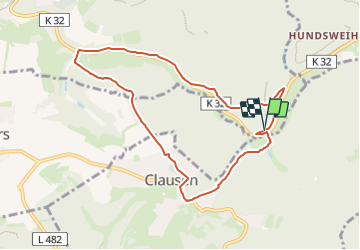
Tour Zu Fuß von 8,1 km verfügbar auf Rheinland-Pfalz, Südwestpfalz, Waldfischbach-Burgalben. Diese Tour wird von SityTrail - itinéraires balisés pédestres vorgeschlagen.
Trail created by Kultur und Verkehrsverein Clausen.
Symbol: Blaues Oval Text Weis C5
Website: http://www.wandern-clausen.de


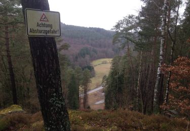
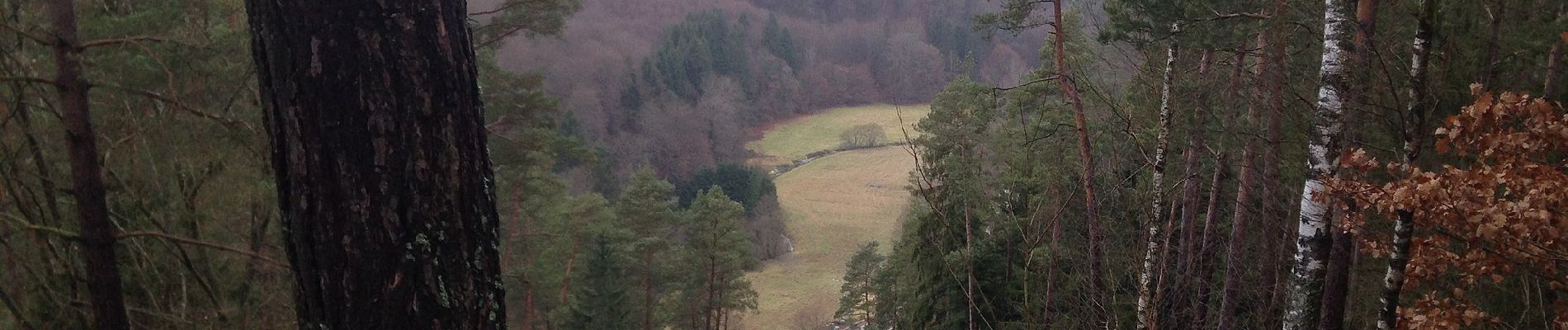
Zu Fuß
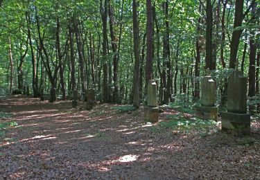
Zu Fuß

Zu Fuß
Zu Fuß
Zu Fuß
Zu Fuß
Zu Fuß
Zu Fuß
Zu Fuß