


6 km | 8,1 km-effort

Tous les sentiers balisés d’Europe GUIDE+


Kostenlosegpshiking-Anwendung
 SityTrail
IGN / Geografische Institute
SityTrail World
Die Welt öffnet sich für Sie
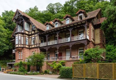
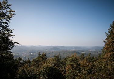
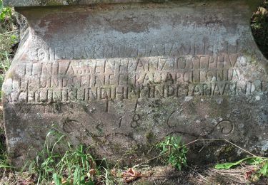
Tour Zu Fuß von 11,1 km verfügbar auf Rheinland-Pfalz, Landkreis Südliche Weinstraße, Gleiszellen-Gleishorbach. Diese Tour wird von SityTrail - itinéraires balisés pédestres vorgeschlagen.
Trail created by Tourismusverein Südliche Weinstraße Bad Bergzabern.
Symbol: Sau, Wasserhahn und Hütte, violett, auf weißem Grund


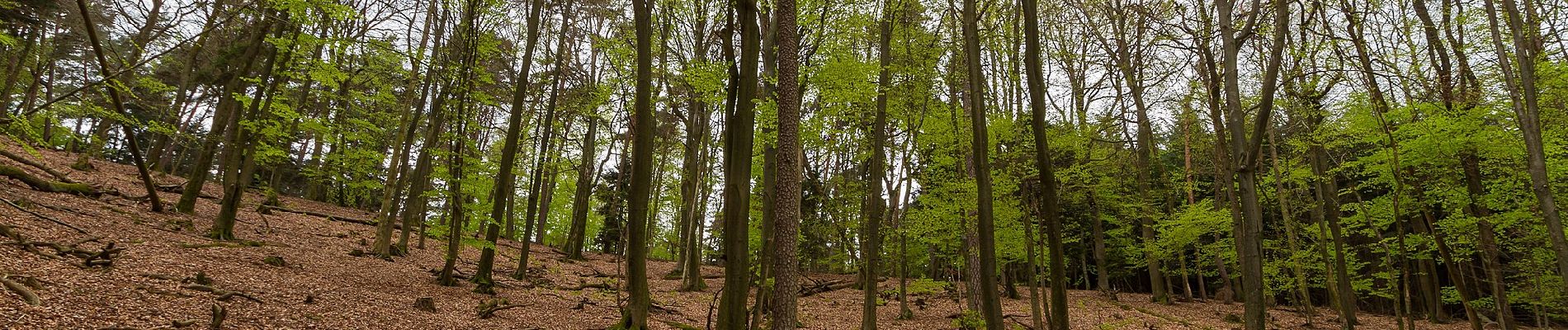
Zu Fuß
Zu Fuß
Zu Fuß
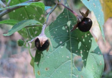
Zu Fuß
Zu Fuß
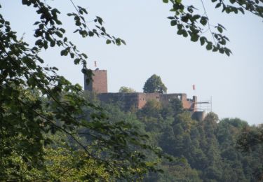
Zu Fuß
Zu Fuß

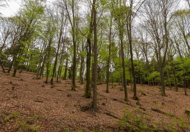
Zu Fuß
Zu Fuß