


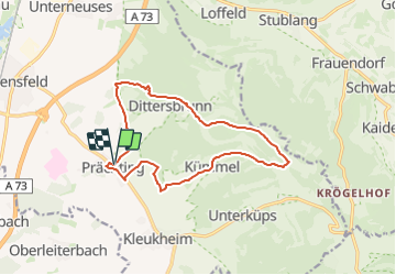

5,1 km | 8,4 km-effort

Tous les sentiers balisés d’Europe GUIDE+


Kostenlosegpshiking-Anwendung
 SityTrail
IGN / Geografische Institute
SityTrail World
Die Welt öffnet sich für Sie
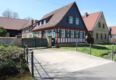
Tour Zu Fuß von 12,7 km verfügbar auf Bayern, Landkreis Lichtenfels, Ebensfeld. Diese Tour wird von SityTrail - itinéraires balisés pédestres vorgeschlagen.
Trail created by Kelbachtaler Blasmusik Prächting.
Markierung teilweise unvollständig, keine Unterscheidung zur großen Runde
Symbol: Notenlinie mit Violinenschlüssel auf gelbem Hintergrund
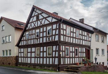
 - Photo 1")
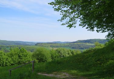
 - Photo 2")
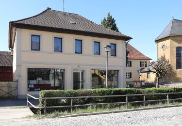
 - Photo 3")
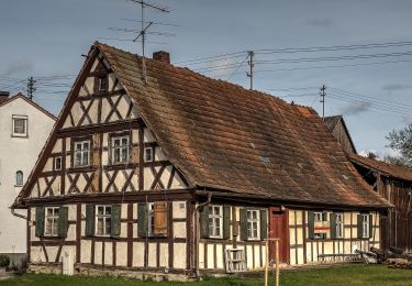
 - Photo 4")
 - Photo 5")
 - Photo 6")
 - Photo 7")
 - Photo 8")
 - Photo 9")
 - Photo 10")
Zu Fuß

Zu Fuß

Zu Fuß
Zu Fuß
Zu Fuß
Zu Fuß
Zu Fuß
Zu Fuß
Zu Fuß