


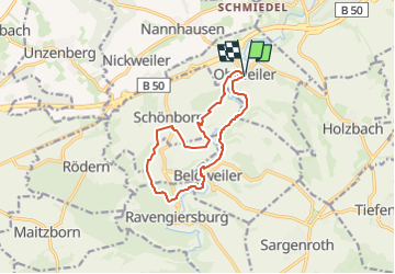

9,3 km | 12,9 km-effort

Tous les sentiers balisés d’Europe GUIDE+


Kostenlosegpshiking-Anwendung
 SityTrail
IGN / Geografische Institute
SityTrail World
Die Welt öffnet sich für Sie
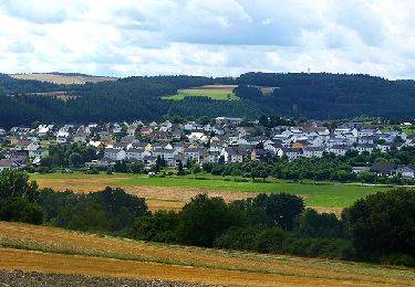
Tour Zu Fuß von 10,7 km verfügbar auf Rheinland-Pfalz, Rhein-Hunsrück-Kreis, Ohlweiler. Diese Tour wird von SityTrail - itinéraires balisés pédestres vorgeschlagen.
2018-09-02 bearbeitet nach tatsächlicher Markierung im Gelände. Die veröffentlichten GPXe weichen teilweise ab.


Wandern
Wandern
Zu Fuß
Zu Fuß
Zu Fuß
Zu Fuß
Zu Fuß
Zu Fuß
Zu Fuß