


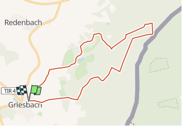

17,9 km | 23 km-effort


Tous les sentiers balisés d’Europe GUIDE+


Kostenlosegpshiking-Anwendung
 SityTrail
IGN / Geografische Institute
SityTrail World
Die Welt öffnet sich für Sie
Tour Zu Fuß von 8,9 km verfügbar auf Bayern, Landkreis Tirschenreuth, Mähring. Diese Tour wird von SityTrail - itinéraires balisés pédestres vorgeschlagen.
Trail created by OWV Griesbach.
http://www.griesbach-oberpfalz.de/index.php?option=com_content&task=view&id=59&Itemid=93
Symbol: Rotes dreick auf weißem Grund
Zu Fuß

Zu Fuß
Zu Fuß
Zu Fuß
Zu Fuß
Zu Fuß
Zu Fuß
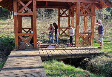
![Tour Zu Fuß Plan - [Ž] Planá - Caltov - Photo](https://media.geolcdn.com/t/375/260/d3274dee-8d07-4931-ac79-1d03303a6581.jpeg&format=jpg&maxdim=2)
Zu Fuß
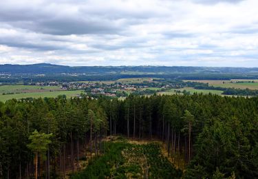
![Tour Zu Fuß Lindenhau - [Ž] Dolní Žandov - Pod Dylení - Photo](https://media.geolcdn.com/t/375/260/3c075749-bc39-4d3d-bb5a-bf9983668a77.jpeg&format=jpg&maxdim=2)
Zu Fuß