


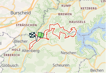

15,3 km | 18,6 km-effort


Tous les sentiers balisés d’Europe GUIDE+


Kostenlosegpshiking-Anwendung
 SityTrail
IGN / Geografische Institute
SityTrail World
Die Welt öffnet sich für Sie
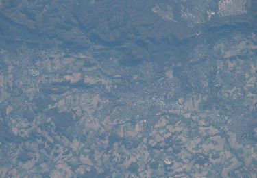
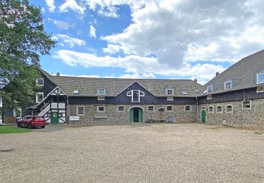
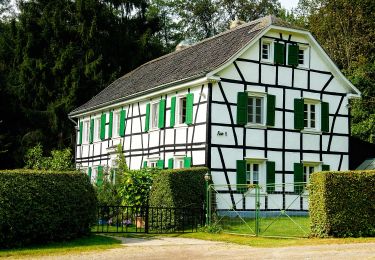
Tour Zu Fuß von 15,4 km verfügbar auf Nordrhein-Westfalen, Rheinisch-Bergischer Kreis, Odenthal. Diese Tour wird von SityTrail - itinéraires balisés pédestres vorgeschlagen.
Trail created by Gemeinde Odenthal.
Symbol: Weißes leeres Rechteck auf schwarzem Grund


Zu Fuß
Zu Fuß
Zu Fuß
Zu Fuß
Zu Fuß

Zu Fuß
Zu Fuß
Zu Fuß
Zu Fuß