


6,7 km | 8,2 km-effort


Tous les sentiers balisés d’Europe GUIDE+


Kostenlosegpshiking-Anwendung
 SityTrail
IGN / Geografische Institute
SityTrail World
Die Welt öffnet sich für Sie
Tour Zu Fuß von 11,2 km verfügbar auf Bayern, Landkreis Eichstätt, Schernfeld. Diese Tour wird von SityTrail - itinéraires balisés pédestres vorgeschlagen.
Trail created by Tourist-Information Stadt Eichstätt.
abgeschlossen (Mai 2014, by cycling_zno)
Symbol: grüne Ziffer 4 auf gelben Hintergrund mit Ammonit-Wasserzeichen
Website: http://www.eichstaett.info/wege/wanderung_zum_saupark-122/
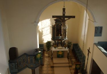
Zu Fuß
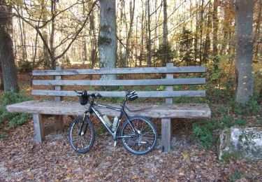
Zu Fuß
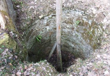
Zu Fuß

Zu Fuß
Zu Fuß