


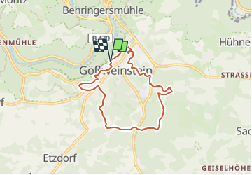

5,3 km | 7,8 km-effort

Tous les sentiers balisés d’Europe GUIDE+


Kostenlosegpshiking-Anwendung
 SityTrail
IGN / Geografische Institute
SityTrail World
Die Welt öffnet sich für Sie
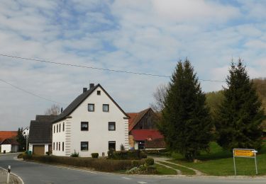
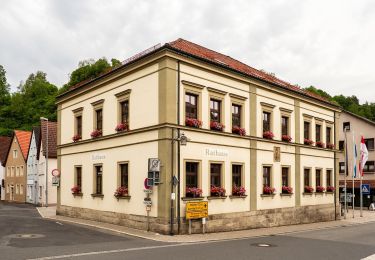
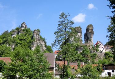
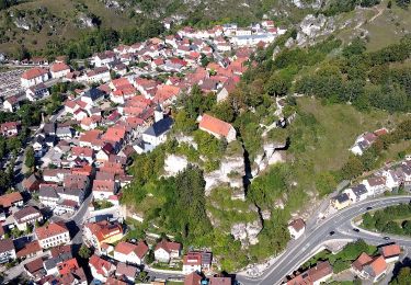
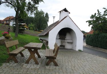
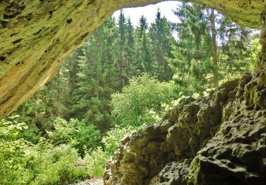
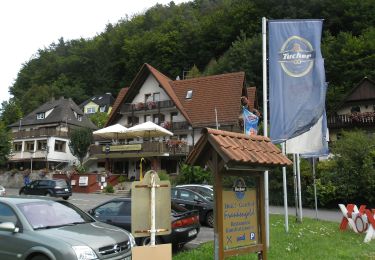
Tour Zu Fuß von 6,3 km verfügbar auf Bayern, Landkreis Forchheim, Gößweinstein. Diese Tour wird von SityTrail - itinéraires balisés pédestres vorgeschlagen.
Trail created by Gemeinde Gößweinstein.
abgeschlossen (Mär. 2013 by cycling_zno)
Symbol: Roter Ring auf weißem Grund


Zu Fuß
Zu Fuß
Zu Fuß
Zu Fuß
Zu Fuß
Zu Fuß
Zu Fuß
Zu Fuß
Zu Fuß