


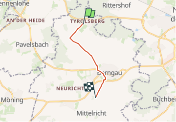

8,3 km | 9,3 km-effort

Tous les sentiers balisés d’Europe GUIDE+


Kostenlosegpshiking-Anwendung
 SityTrail
IGN / Geografische Institute
SityTrail World
Die Welt öffnet sich für Sie
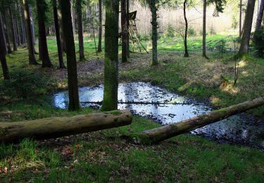
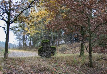
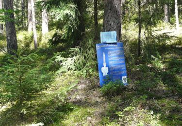
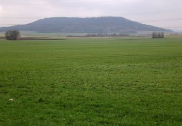
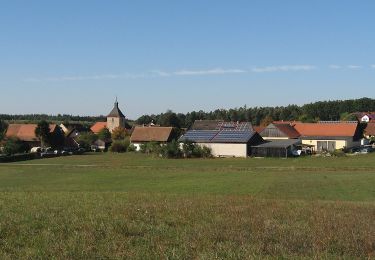
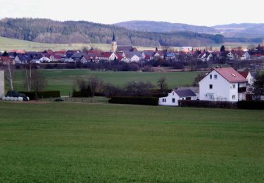
Tour Zu Fuß von 5,1 km verfügbar auf Bayern, Landkreis Neumarkt in der Oberpfalz, Berngau. Diese Tour wird von SityTrail - itinéraires balisés pédestres vorgeschlagen.
Trail created by Gemeinde Sengenthal.
abgeschlossen (Jan 2013 by cycling_zno)
Symbol: Weisse 5 auf blauem Grund


Zu Fuß
Zu Fuß
Zu Fuß
Zu Fuß
Zu Fuß
Zu Fuß
Zu Fuß
Zu Fuß
Zu Fuß