


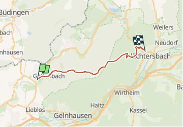

6,4 km | 7,7 km-effort

Tous les sentiers balisés d’Europe GUIDE+


Kostenlosegpshiking-Anwendung
 SityTrail
IGN / Geografische Institute
SityTrail World
Die Welt öffnet sich für Sie
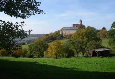
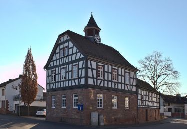
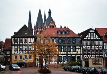
Tour Zu Fuß von 14,1 km verfügbar auf Hessen, Main-Kinzig-Kreis, Gründau. Diese Tour wird von SityTrail - itinéraires balisés pédestres vorgeschlagen.
Trail created by Vogelsberger Höhenclub.
complete
Symbol: white o on black


Zu Fuß
Zu Fuß
Zu Fuß
Zu Fuß
Zu Fuß
Zu Fuß
Zu Fuß
Zu Fuß
Zu Fuß