


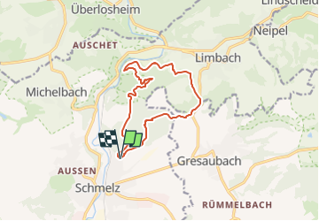

18,9 km | 25 km-effort

Tous les sentiers balisés d’Europe GUIDE+


Kostenlosegpshiking-Anwendung
 SityTrail
IGN / Geografische Institute
SityTrail World
Die Welt öffnet sich für Sie
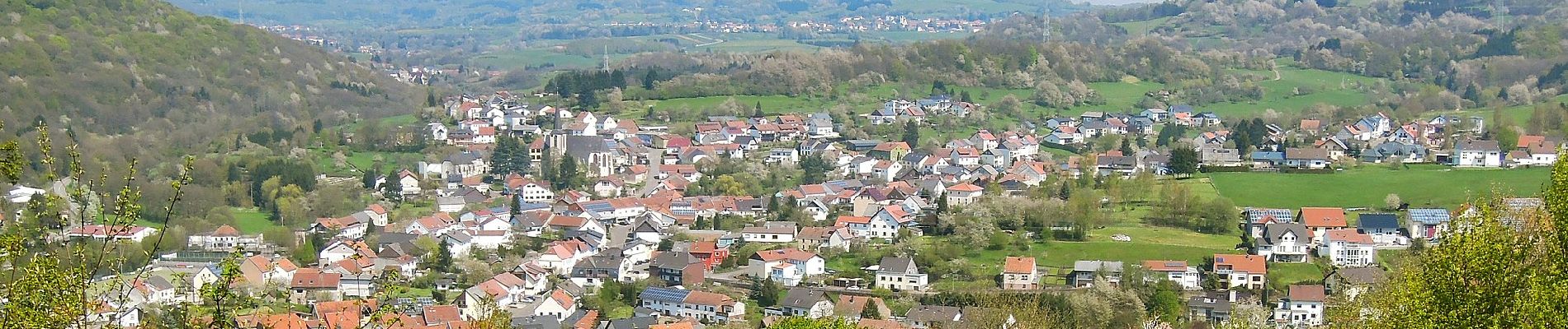
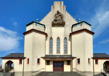
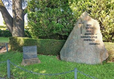
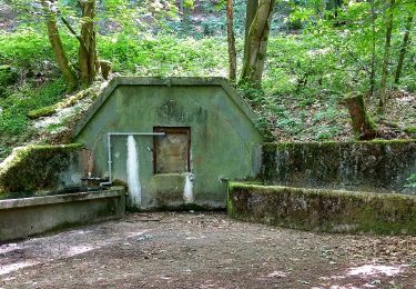
Tour Zu Fuß von 11,2 km verfügbar auf Saarland, Landkreis Saarlouis, Schmelz. Diese Tour wird von SityTrail - itinéraires balisés pédestres vorgeschlagen.
Symbol: gekreuzte Hacke und Schippe in schwarz auf weißem Grund


Zu Fuß
Zu Fuß
Zu Fuß
Zu Fuß
Zu Fuß
Zu Fuß
Zu Fuß
Zu Fuß
Zu Fuß