


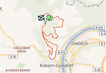

13 km | 18,6 km-effort

Tous les sentiers balisés d’Europe GUIDE+


Kostenlosegpshiking-Anwendung
 SityTrail
IGN / Geografische Institute
SityTrail World
Die Welt öffnet sich für Sie
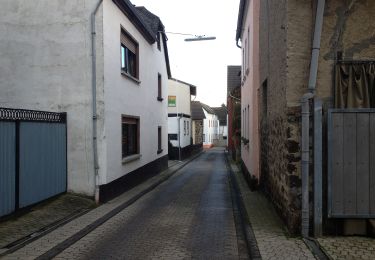
Tour Zu Fuß von 7,9 km verfügbar auf Rheinland-Pfalz, Landkreis Mayen-Koblenz, Kobern-Gondorf. Diese Tour wird von SityTrail - itinéraires balisés pédestres vorgeschlagen.
Trail created by Touristik und Kultur Kobern-Gondorf, Lennigstraße 12, 56330 Kobern-Gondorf, Tel.: 02607/1055.
Symbol: Roter Tatzelwurm auf weissem Grund


Zu Fuß
Zu Fuß

Zu Fuß
Zu Fuß

Zu Fuß

Zu Fuß

Wandern