


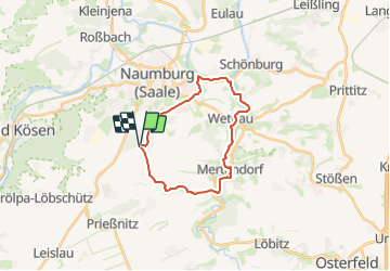

8,8 km | 11 km-effort


Tous les sentiers balisés d’Europe GUIDE+


Kostenlosegpshiking-Anwendung
 SityTrail
IGN / Geografische Institute
SityTrail World
Die Welt öffnet sich für Sie
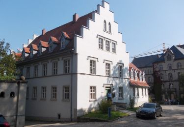
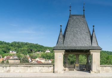
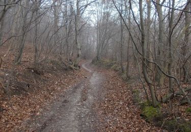
Tour Zu Fuß von 18,5 km verfügbar auf Sachsen-Anhalt, Burgenlandkreis, Naumburg (Saale). Diese Tour wird von SityTrail - itinéraires balisés pédestres vorgeschlagen.
Symbol: Braunes Mühlenrad auf weissem Rechteck
Zu Fuß
Zu Fuß
Zu Fuß
Zu Fuß
Zu Fuß

Zu Fuß
Zu Fuß
Zu Fuß