


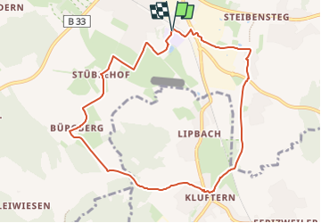

5,5 km | 6,5 km-effort

Tous les sentiers balisés d’Europe GUIDE+


Kostenlosegpshiking-Anwendung
 SityTrail
IGN / Geografische Institute
SityTrail World
Die Welt öffnet sich für Sie
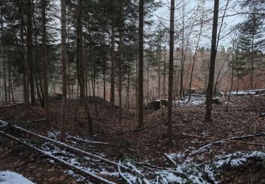
Tour Zu Fuß von 9,1 km verfügbar auf Baden-Württemberg, Bodenseekreis, Markdorf. Diese Tour wird von SityTrail - itinéraires balisés pédestres vorgeschlagen.
Trail created by Tourismusgemeinschaft Gehrenberg-Bodensee.
Symbol: schwarzer Hase auf weißem Grund
Website: https://www.gehrenberg-bodensee.de/


Zu Fuß

Zu Fuß
Zu Fuß
Zu Fuß

Zu Fuß
Zu Fuß
Zu Fuß
Zu Fuß
Zu Fuß