4,4 km | 6,2 km-effort
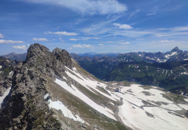
Hindelanger Klettersteig
SityTrail - itinéraires balisés pédestres
Tous les sentiers balisés d’Europe GUIDE+
Länge
6,7 km
Maximale Höhe
2269 m
Positive Höhendifferenz
419 m
Km-Effort
13,1 km
Min. Höhe
1876 m
Negative Höhendifferenz
636 m
Boucle
Nein
Kennzeichnung
Erstellungsdatum :
2022-02-11 13:39:46.973
Letzte Änderung :
2022-02-11 13:39:46.973
2h58
Schwierigkeit : Einfach
Kostenlosegpshiking-Anwendung
Über SityTrail
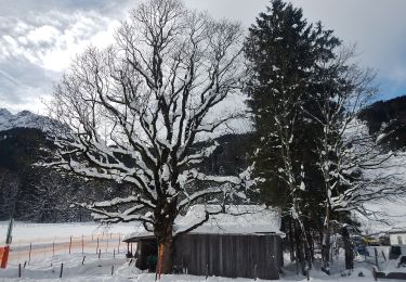
Tour Zu Fuß von 6,7 km verfügbar auf Bayern, Landkreis Oberallgäu, Oberstdorf. Diese Tour wird von SityTrail - itinéraires balisés pédestres vorgeschlagen.
Ort
Land:
Germany
Region :
Bayern
Abteilung/Provinz :
Landkreis Oberallgäu
Kommune :
Oberstdorf
Standort:
Unknown
Gehen Sie:(Dec)
Gehen Sie:(UTM)
601233 ; 5252868 (32T) N.
Kommentare
Touren in der Umgebung
B - Winterwanderung ins Stillachtal
Zu Fuß
Einfach
Oberstdorf,
Bayern,
Landkreis Oberallgäu,
Germany
1h 24min
Nein
D - Gerstruben - ein Bergdorf im Winter
Zu Fuß
Einfach
Oberstdorf,
Bayern,
Landkreis Oberallgäu,
Germany
3,2 km | 3,9 km-effort
52min
Nein
O - Winterwanderung ins Oytal
Zu Fuß
Einfach
Oberstdorf,
Bayern,
Landkreis Oberallgäu,
Germany
4,9 km | 5,7 km-effort
1h 17min
Nein
G - Winterwanderung zur Gaisalpe
Zu Fuß
Einfach
Oberstdorf,
Bayern,
Landkreis Oberallgäu,
Germany
4,6 km | 6,2 km-effort
1h 24min
Nein
Ru - Im Winter zur Schöllanger Burgkirche
Zu Fuß
Einfach
Oberstdorf,
Bayern,
Landkreis Oberallgäu,
Germany
3,6 km | 4,4 km-effort
59min
Nein
Nebelhorn
Wandern
Medium
Oberstdorf,
Bayern,
Landkreis Oberallgäu,
Germany
12,6 km | 20 km-effort
2h 18min
Nein
M - Über den Moorweiher ins Trettachtal
Zu Fuß
Einfach
Oberstdorf,
Bayern,
Landkreis Oberallgäu,
Germany
6,7 km | 8,4 km-effort
1h 54min
Nein
H - Vom Schönblick nach Hochleite
Zu Fuß
Einfach
Oberstdorf,
Bayern,
Landkreis Oberallgäu,
Germany
9,5 km | 17,2 km-effort
3h 54min
Nein
f-duitsland-trettachtal-langs-de-iller
Fahrrad
Sehr leicht
Fischen im Allgäu,
Bayern,
Landkreis Oberallgäu,
Germany
30 km | 35 km-effort
Unbekannt
Ja