


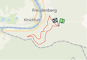

6,4 km | 9,9 km-effort

Tous les sentiers balisés d’Europe GUIDE+


Kostenlosegpshiking-Anwendung
 SityTrail
IGN / Geografische Institute
SityTrail World
Die Welt öffnet sich für Sie
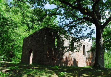
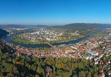
Tour Zu Fuß von 5,6 km verfügbar auf Baden-Württemberg, Main-Tauber-Kreis, Freudenberg. Diese Tour wird von SityTrail - itinéraires balisés pédestres vorgeschlagen.
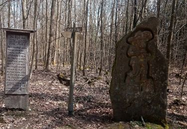
Trail created by Geo-Naturpark Bergstraße-Odenwald.
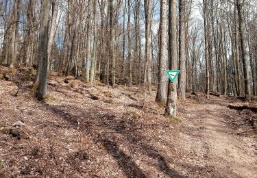
Symbol: gelbe 1 in gelbem Kreis


Zu Fuß
Zu Fuß
Zu Fuß
Zu Fuß
Zu Fuß
Zu Fuß
Zu Fuß
Zu Fuß
Zu Fuß