![](/images/other/stat-length.png)
![Tour Zu Fuß Unbekannt - Quellenwanderweg - Photo](https://media.geolcdn.com/t/1900/400/4f681068-98bc-4af0-b2fc-544a8c2c0d35.jpeg&format=pjpeg&maxdim=2)
Quellenwanderweg
SityTrail - itinéraires balisés pédestres
Tous les sentiers balisés d’Europe GUIDE+
![Länge](/images/other/stat-length.png)
Länge
6,1 km
![Maximale Höhe](https://static1.geolcdn.com/siteimages/upload/files/1508320355ic_sort_altitude_max_24dp.png)
Maximale Höhe
185 m
![Positive Höhendifferenz](https://static1.geolcdn.com/siteimages/upload/files/1508320355ic_sort_den_pos_24dp.png)
Positive Höhendifferenz
153 m
![Km-Effort](/images/other/stat-length.png)
Km-Effort
8 km
![Min. Höhe](https://static1.geolcdn.com/siteimages/upload/files/1508320355ic_sort_altitude_min_24dp.png)
Min. Höhe
102 m
![Negative Höhendifferenz](https://static1.geolcdn.com/siteimages/upload/files/1508320355ic_sort_den_neg_24dp.png)
Negative Höhendifferenz
102 m
![Boucle](https://static1.geolcdn.com/siteimages/upload/files/16400158638029165_repeat_loop_refresh_sync_direction_icon.png)
Boucle
Nein
Kennzeichnung
Erstellungsdatum :
2022-02-11 13:24:04.833
Letzte Änderung :
2022-02-11 13:24:04.833
![Zu Fuß](https://static1.geolcdn.com/sitytour/trail-icons/100.png)
1h48
Schwierigkeit : Einfach
![Scannen Sie diesen QR-Code, um die Tour in der SityTrail-Anwendung zu öffnen](https://capi.geolives.com/qq0zvz2zws4bq2lad0pu/sitytour/trails/3090192/qr.png?size=200)
Kostenlosegpshiking-Anwendung
Über SityTrail
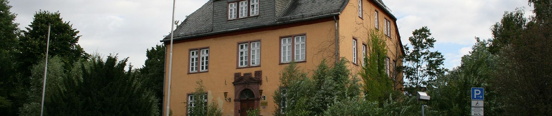
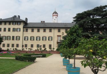
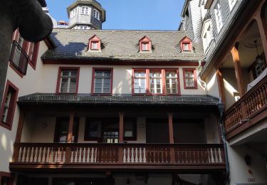
Tour Zu Fuß von 6,1 km verfügbar auf Hessen, Frankfurt am Main, Unbekannt. Diese Tour wird von SityTrail - itinéraires balisés pédestres vorgeschlagen.
Beschreibung
Symbol: Wasserspeiendes "Grüngürteltier"
Ort
Land:
Germany
Region :
Hessen
Abteilung/Provinz :
Frankfurt am Main
Kommune :
Unbekannt
Standort:
Ost
Gehen Sie:(Dec)
Gehen Sie:(UTM)
480196 ; 5554474 (32U) N.
Kommentare
Touren in der Umgebung
![Tour Zu Fuß Unbekannt - Hölderlinpfad - Photo](https://media.geolcdn.com/t/375/260/dab9b0fe-f562-4100-afbd-6fd2d5897cb3.jpeg&format=jpg&maxdim=2)
![Zu Fuß Zu Fuß](https://static1.geolcdn.com/sitytour/trail-icons/100.png)
Hölderlinpfad
Zu Fuß
Medium
Unbekannt,
Hessen,
Frankfurt am Main,
Germany
![](/images/other/stat-length.png)
22 km | 25 km-effort
5h 40min
![](https://static1.geolcdn.com/siteimages/upload/files/16400158638029165_repeat_loop_refresh_sync_direction_icon.png)
Nein
![Tour Zu Fuß Unbekannt - Wanderweg 5 - Photo](https://media.geolcdn.com/t/375/260/42a1c754-8f8e-4242-bb1c-d61228c82741.jpeg&format=jpg&maxdim=2)
![Zu Fuß Zu Fuß](https://static1.geolcdn.com/sitytour/trail-icons/100.png)
Wanderweg 5
Zu Fuß
Einfach
Unbekannt,
Hessen,
Frankfurt am Main,
Germany
![](/images/other/stat-length.png)
7,2 km | 8,4 km-effort
1h 54min
![](https://static1.geolcdn.com/siteimages/upload/files/16400158638029165_repeat_loop_refresh_sync_direction_icon.png)
Ja
![Tour Wandern Unbekannt - francfort - Photo](https://media.geolcdn.com/t/375/260/b36d10f8-7354-47dd-9a43-b9bc9b04b6c7.jpg&format=jpg&maxdim=2)
![Wandern Wandern](https://static1.geolcdn.com/sitytour/trail-icons/101.png)
francfort
Wandern
Sehr schwierig
Unbekannt,
Hessen,
Frankfurt am Main,
Germany
![](/images/other/stat-length.png)
18,2 km | 21 km-effort
2h 52min
![](https://static1.geolcdn.com/siteimages/upload/files/16400158638029165_repeat_loop_refresh_sync_direction_icon.png)
Nein
![Tour Rennrad Unbekannt - Musée d’histoire naturelle et jardins botaniques - Photo](https://media.geolcdn.com/t/375/260/acd067a3-9388-44b2-985e-a6d0de3b4c2f.jpg&format=jpg&maxdim=2)
![Rennrad Rennrad](https://static1.geolcdn.com/sitytour/trail-icons/201.png)
Musée d’histoire naturelle et jardins botaniques
Rennrad
Einfach
Unbekannt,
Hessen,
Frankfurt am Main,
Germany
![](/images/other/stat-length.png)
9,7 km | 11,5 km-effort
1h 50min
![](https://static1.geolcdn.com/siteimages/upload/files/16400158638029165_repeat_loop_refresh_sync_direction_icon.png)
Nein
![Tour Zu Fuß Bad Vilbel - Waldlehrpfad - Photo](https://media.geolcdn.com/t/375/260/ext.jpg?maxdim=2&url=https%3A%2F%2Fstatic1.geolcdn.com%2Fsiteimages%2Fupload%2Ffiles%2F1545311037marcheuse_200dpi.jpg)
![Zu Fuß Zu Fuß](https://static1.geolcdn.com/sitytour/trail-icons/100.png)
Waldlehrpfad
Zu Fuß
Einfach
Bad Vilbel,
Hessen,
Wetteraukreis,
Germany
![](/images/other/stat-length.png)
4,1 km | 5,5 km-effort
1h 15min
![](https://static1.geolcdn.com/siteimages/upload/files/16400158638029165_repeat_loop_refresh_sync_direction_icon.png)
Ja
![Tour Zu Fuß Unbekannt - Goetheweg - Photo](https://media.geolcdn.com/t/375/260/ext.jpg?maxdim=2&url=https%3A%2F%2Fstatic1.geolcdn.com%2Fsiteimages%2Fupload%2Ffiles%2F1545311037marcheuse_200dpi.jpg)
![Zu Fuß Zu Fuß](https://static1.geolcdn.com/sitytour/trail-icons/100.png)
Goetheweg
Zu Fuß
Einfach
Unbekannt,
Hessen,
Frankfurt am Main,
Germany
![](/images/other/stat-length.png)
11 km | 13 km-effort
2h 57min
![](https://static1.geolcdn.com/siteimages/upload/files/16400158638029165_repeat_loop_refresh_sync_direction_icon.png)
Ja
![Tour Wandern Unbekannt - pommier - Photo](https://media.geolcdn.com/t/375/260/ext.jpg?maxdim=2&url=https%3A%2F%2Fstatic1.geolcdn.com%2Fsiteimages%2Fupload%2Ffiles%2F1553511878bg_sport_marche.png)
![Wandern Wandern](https://static1.geolcdn.com/sitytour/trail-icons/101.png)
pommier
Wandern
Sehr leicht
Unbekannt,
Hessen,
Frankfurt am Main,
Germany
![](/images/other/stat-length.png)
10,2 km | 11,6 km-effort
2h 6min
![](https://static1.geolcdn.com/siteimages/upload/files/16400158638029165_repeat_loop_refresh_sync_direction_icon.png)
Ja
![Tour Wandern Unbekannt - Francfort p - Photo](https://media.geolcdn.com/t/375/260/ext.jpg?maxdim=2&url=https%3A%2F%2Fstatic1.geolcdn.com%2Fsiteimages%2Fupload%2Ffiles%2F1553511878bg_sport_marche.png)
![Wandern Wandern](https://static1.geolcdn.com/sitytour/trail-icons/101.png)
Francfort p
Wandern
Sehr leicht
Unbekannt,
Hessen,
Frankfurt am Main,
Germany
![](/images/other/stat-length.png)
4,6 km | 5,4 km-effort
2h 39min
![](https://static1.geolcdn.com/siteimages/upload/files/16400158638029165_repeat_loop_refresh_sync_direction_icon.png)
Nein
![Tour Auto Unbekannt - Francfort bus - Photo](https://media.geolcdn.com/t/375/260/ext.jpg?maxdim=2&url=https%3A%2F%2Fstatic1.geolcdn.com%2Fsiteimages%2Fupload%2Ffiles%2F15247431544x4.jpg)
![Auto Auto](https://static1.geolcdn.com/sitytour/trail-icons/401.png)
Francfort bus
Auto
Sehr leicht
Unbekannt,
Hessen,
Frankfurt am Main,
Germany
![](/images/other/stat-length.png)
8,4 km | 9,6 km-effort
1h 12min
![](https://static1.geolcdn.com/siteimages/upload/files/16400158638029165_repeat_loop_refresh_sync_direction_icon.png)
Nein