


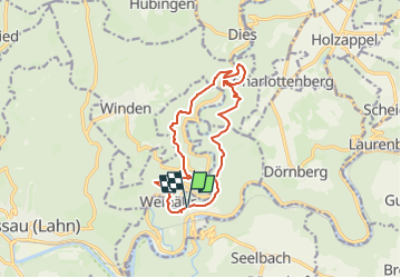

14,3 km | 19,5 km-effort

Tous les sentiers balisés d’Europe GUIDE+


Kostenlosegpshiking-Anwendung
 SityTrail
IGN / Geografische Institute
SityTrail World
Die Welt öffnet sich für Sie
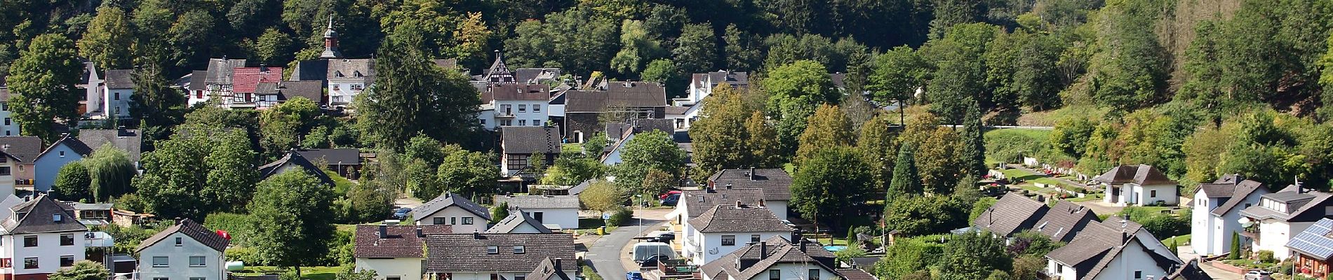
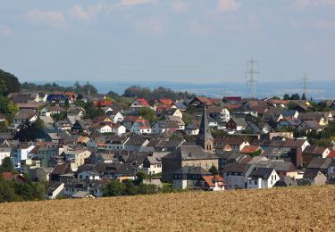
Tour Zu Fuß von 11,8 km verfügbar auf Rheinland-Pfalz, Rhein-Lahn-Kreis, Obernhof. Diese Tour wird von SityTrail - itinéraires balisés pédestres vorgeschlagen.
Trail created by Tourist-Information Nassauer Land e.V..
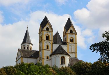
Symbol: Gelbes Metallschild mit blauem Text "Gelbachhöhen-Tour"


Zu Fuß
Zu Fuß
Zu Fuß
Zu Fuß
Zu Fuß
Zu Fuß

Zu Fuß

Fahrrad