


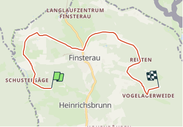

9 km | 12,2 km-effort


Tous les sentiers balisés d’Europe GUIDE+


Kostenlosegpshiking-Anwendung
 SityTrail
IGN / Geografische Institute
SityTrail World
Die Welt öffnet sich für Sie
Tour Zu Fuß von 6,9 km verfügbar auf Bayern, Landkreis Freyung-Grafenau, Mauth. Diese Tour wird von SityTrail - itinéraires balisés pédestres vorgeschlagen.
Trail created by Nationalpark Bayerischer Wald.
Symbol: Schnecke (Tiersymbol und Schriftzug) in schwarz Lu auf gelbem quadratischen Grund
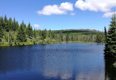
 - Photo 1")
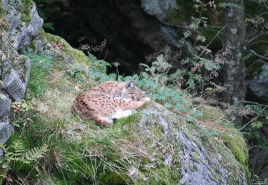
 - Photo 2")
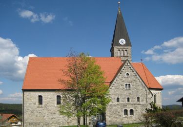
 - Photo 3")
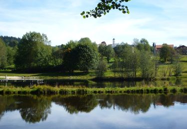
 - Photo 4")
 - Photo 5")
 - Photo 6")
 - Photo 7")
 - Photo 8")
 - Photo 9")
 - Photo 10")
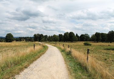
Zu Fuß
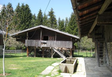
Zu Fuß
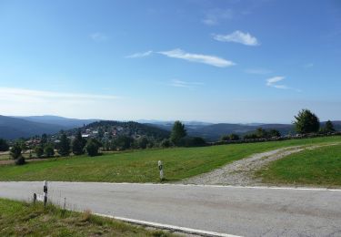
Zu Fuß
Zu Fuß
Zu Fuß
Zu Fuß
Zu Fuß
Zu Fuß

Zu Fuß