


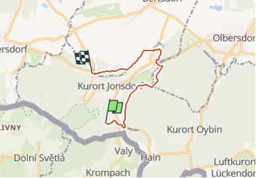

3,1 km | 6,7 km-effort

Tous les sentiers balisés d’Europe GUIDE+


Kostenlosegpshiking-Anwendung
 SityTrail
IGN / Geografische Institute
SityTrail World
Die Welt öffnet sich für Sie
Tour Zu Fuß von 7,3 km verfügbar auf Sachsen, Görlitz, Jonsdorf. Diese Tour wird von SityTrail - itinéraires balisés pédestres vorgeschlagen.
Symbol: Grüner Punkt auf weißem Grund
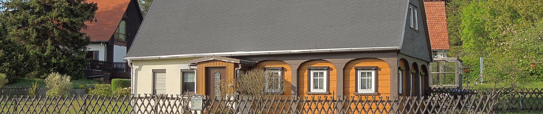
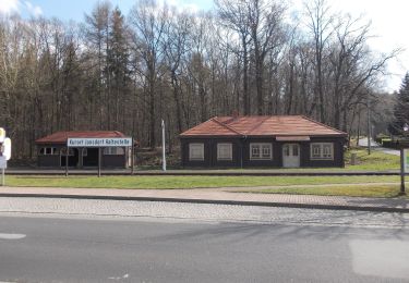
 - Photo 1")
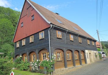
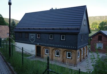
 - Photo 2")
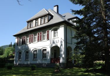
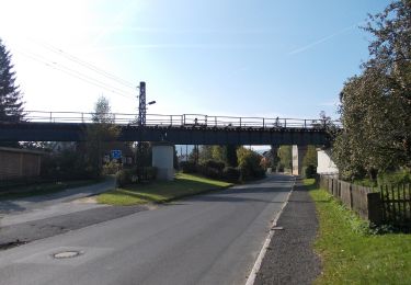
 - Photo 3")
 - Photo 4")
 - Photo 5")
 - Photo 6")
 - Photo 7")
 - Photo 8")
 - Photo 9")
 - Photo 10")
Zu Fuß
Zu Fuß
Zu Fuß
Zu Fuß
Zu Fuß
Zu Fuß
Zu Fuß
Zu Fuß
Zu Fuß