


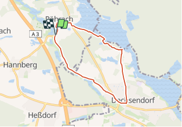

3,2 km | 4 km-effort

Tous les sentiers balisés d’Europe GUIDE+


Kostenlosegpshiking-Anwendung
 SityTrail
IGN / Geografische Institute
SityTrail World
Die Welt öffnet sich für Sie
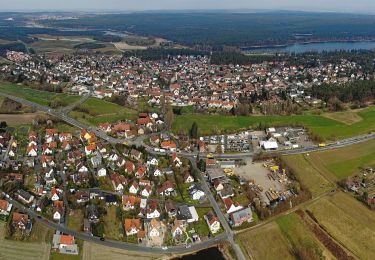
Tour Zu Fuß von 6,3 km verfügbar auf Bayern, Landkreis Erlangen-Höchstadt, Heßdorf. Diese Tour wird von SityTrail - itinéraires balisés pédestres vorgeschlagen.
Trail created by Heimat-und Verkehrsverein Erlangen-Dechsendorf.
geprüft (Feb. 2015 by cycling_zno)
Symbol: weisse 7 auf grünem Grund


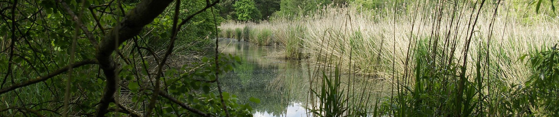
Zu Fuß
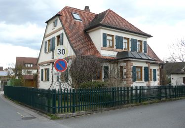
Zu Fuß
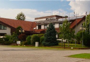
Zu Fuß
Zu Fuß
Zu Fuß
Zu Fuß
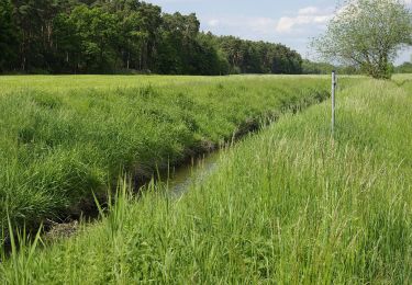
Zu Fuß
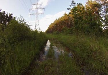
Zu Fuß