


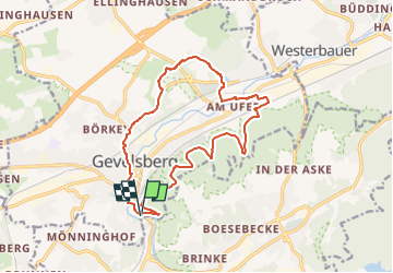

10,4 km | 14,3 km-effort

Tous les sentiers balisés d’Europe GUIDE+


Kostenlosegpshiking-Anwendung
 SityTrail
IGN / Geografische Institute
SityTrail World
Die Welt öffnet sich für Sie
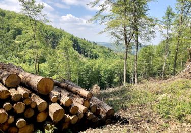
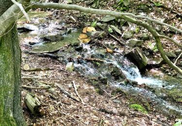
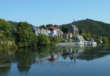
Tour Zu Fuß von 14,2 km verfügbar auf Nordrhein-Westfalen, Ennepe-Ruhr-Kreis, Gevelsberg. Diese Tour wird von SityTrail - itinéraires balisés pédestres vorgeschlagen.
Symbol: G


Zu Fuß
Zu Fuß
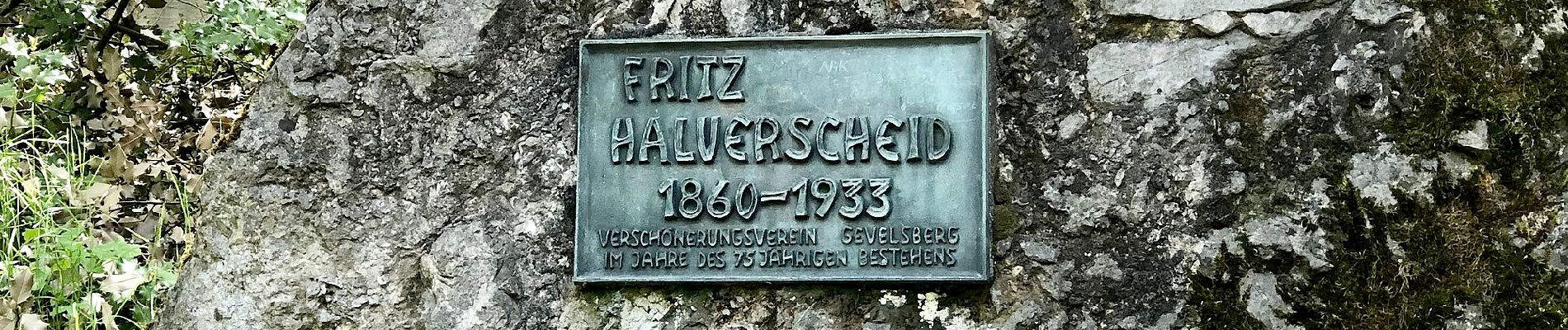
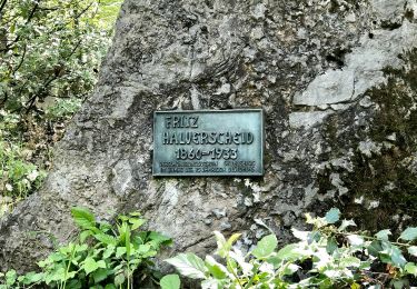
![Tour Zu Fuß Gevelsberg - [A3] historischer Rundwanderweg Silschede - Photo](https://media.geolcdn.com/t/375/260/e8511c04-2680-4359-a7af-e8f515133e2a.jpeg&format=jpg&maxdim=2)
Zu Fuß
Zu Fuß
Zu Fuß
Zu Fuß
Zu Fuß
Zu Fuß
Zu Fuß