


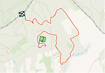

11,3 km | 14,4 km-effort

Tous les sentiers balisés d’Europe GUIDE+


Kostenlosegpshiking-Anwendung
 SityTrail
IGN / Geografische Institute
SityTrail World
Die Welt öffnet sich für Sie
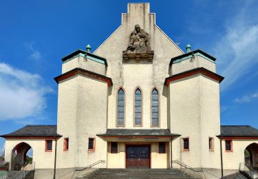
Tour Zu Fuß von 4,6 km verfügbar auf Saarland, Landkreis Saarlouis, Nalbach. Diese Tour wird von SityTrail - itinéraires balisés pédestres vorgeschlagen.
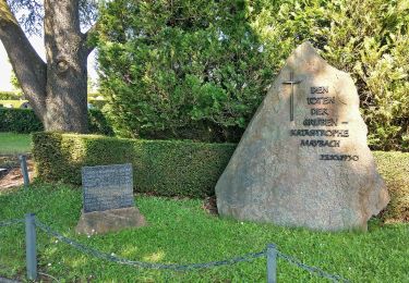
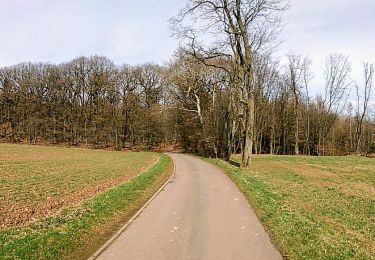
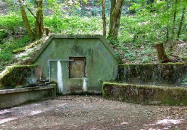
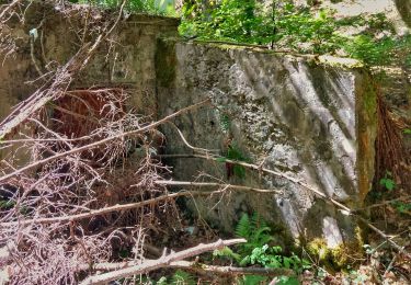
Eine erlebnisreiche Mischung aus Naturabenteuer und Naturgenuss: Wildromantische Bachlandschaften, schroffe Schluchten, Mondsteine, Weidendom, Gipfelbesteigu...
Website: https://www.saarschleifenland.de/Media/Touren/Traumschleife-Litermont-Gipfeltour


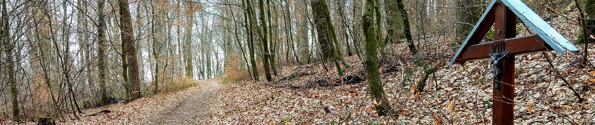
Zu Fuß
Zu Fuß
Zu Fuß
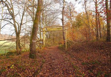
Zu Fuß
Zu Fuß
Zu Fuß
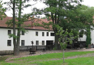
Zu Fuß
Zu Fuß
Zu Fuß