![](/images/other/stat-length.png)
![Tour Zu Fuß Kell am See - Kell 2 - Photo](https://media.geolcdn.com/t/1900/400/cc7e5bf6-bc47-4b0f-8988-5439971840cd.jpeg&format=pjpeg&maxdim=2)
Kell 2
SityTrail - itinéraires balisés pédestres
Tous les sentiers balisés d’Europe GUIDE+
![Länge](/images/other/stat-length.png)
Länge
24 km
![Maximale Höhe](https://static1.geolcdn.com/siteimages/upload/files/1508320355ic_sort_altitude_max_24dp.png)
Maximale Höhe
707 m
![Positive Höhendifferenz](https://static1.geolcdn.com/siteimages/upload/files/1508320355ic_sort_den_pos_24dp.png)
Positive Höhendifferenz
663 m
![Km-Effort](/images/other/stat-length.png)
Km-Effort
33 km
![Min. Höhe](https://static1.geolcdn.com/siteimages/upload/files/1508320355ic_sort_altitude_min_24dp.png)
Min. Höhe
381 m
![Negative Höhendifferenz](https://static1.geolcdn.com/siteimages/upload/files/1508320355ic_sort_den_neg_24dp.png)
Negative Höhendifferenz
667 m
![Boucle](https://static1.geolcdn.com/siteimages/upload/files/16400158638029165_repeat_loop_refresh_sync_direction_icon.png)
Boucle
Ja
Kennzeichnung
Erstellungsdatum :
2022-02-11 12:51:01.636
Letzte Änderung :
2022-02-11 12:51:01.636
![Zu Fuß](https://static1.geolcdn.com/sitytour/trail-icons/100.png)
7h29
Schwierigkeit : Schwierig
![Scannen Sie diesen QR-Code, um die Tour in der SityTrail-Anwendung zu öffnen](https://capi.geolives.com/qq0zvz2zws4bq2lad0pu/sitytour/trails/3088165/qr.png?size=200)
Kostenlosegpshiking-Anwendung
Über SityTrail
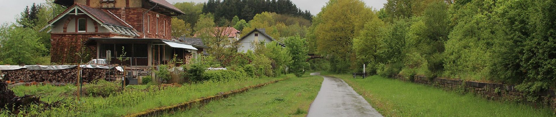
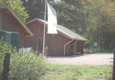
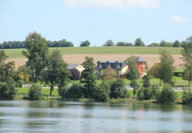
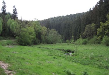
Tour Zu Fuß von 24 km verfügbar auf Rheinland-Pfalz, Landkreis Trier-Saarburg, Kell am See. Diese Tour wird von SityTrail - itinéraires balisés pédestres vorgeschlagen.
Beschreibung
Trail created by Naturpark Saar-Hunsrück.
Symbol: roter Text Kl2 in rotem Kreis auf weißem Grund
Ort
Land:
Germany
Region :
Rheinland-Pfalz
Abteilung/Provinz :
Landkreis Trier-Saarburg
Kommune :
Kell am See
Standort:
Unknown
Gehen Sie:(Dec)
Gehen Sie:(UTM)
343453 ; 5500341 (32U) N.
Kommentare
Touren in der Umgebung
![Tour Zu Fuß Wadern - Traumschleife Almglück - Photo](https://media.geolcdn.com/t/375/260/f2cb7450-432a-4d17-8209-ec7484f0e8ce.jpeg&format=jpg&maxdim=2)
![Zu Fuß Zu Fuß](https://static1.geolcdn.com/sitytour/trail-icons/100.png)
Traumschleife Almglück
Zu Fuß
Einfach
Wadern,
Saarland,
Landkreis Merzig-Wadern,
Germany
![](/images/other/stat-length.png)
5,1 km | 7,3 km-effort
1h 39min
![](https://static1.geolcdn.com/siteimages/upload/files/16400158638029165_repeat_loop_refresh_sync_direction_icon.png)
Nein
![Tour Zu Fuß Kell am See - Kell 3 - Photo](https://media.geolcdn.com/t/375/260/f7c617ef-ad48-4e41-aa44-1f0303c2a8b8.jpeg&format=jpg&maxdim=2)
![Zu Fuß Zu Fuß](https://static1.geolcdn.com/sitytour/trail-icons/100.png)
Kell 3
Zu Fuß
Einfach
Kell am See,
Rheinland-Pfalz,
Landkreis Trier-Saarburg,
Germany
![](/images/other/stat-length.png)
12,3 km | 15,9 km-effort
3h 37min
![](https://static1.geolcdn.com/siteimages/upload/files/16400158638029165_repeat_loop_refresh_sync_direction_icon.png)
Ja
![Tour Zu Fuß Kell am See - Kell 1 - Photo](https://media.geolcdn.com/t/375/260/7551f0e9-6dec-4920-b6e0-af597c977b52.jpeg&format=jpg&maxdim=2)
![Zu Fuß Zu Fuß](https://static1.geolcdn.com/sitytour/trail-icons/100.png)
Kell 1
Zu Fuß
Einfach
Kell am See,
Rheinland-Pfalz,
Landkreis Trier-Saarburg,
Germany
![](/images/other/stat-length.png)
6,8 km | 8,7 km-effort
1h 58min
![](https://static1.geolcdn.com/siteimages/upload/files/16400158638029165_repeat_loop_refresh_sync_direction_icon.png)
Nein
![Tour Zu Fuß Reinsfeld - Frau Holle - Photo](https://media.geolcdn.com/t/375/260/7551f0e9-6dec-4920-b6e0-af597c977b52.jpeg&format=jpg&maxdim=2)
![Zu Fuß Zu Fuß](https://static1.geolcdn.com/sitytour/trail-icons/100.png)
Frau Holle
Zu Fuß
Einfach
Reinsfeld,
Rheinland-Pfalz,
Landkreis Trier-Saarburg,
Germany
![](/images/other/stat-length.png)
7,3 km | 9,8 km-effort
2h 14min
![](https://static1.geolcdn.com/siteimages/upload/files/16400158638029165_repeat_loop_refresh_sync_direction_icon.png)
Nein
![Tour Zu Fuß Waldweiler - Hochwald Acht - Photo](https://media.geolcdn.com/t/375/260/ext.jpg?maxdim=2&url=https%3A%2F%2Fstatic1.geolcdn.com%2Fsiteimages%2Fupload%2Ffiles%2F1545311037marcheuse_200dpi.jpg)
![Zu Fuß Zu Fuß](https://static1.geolcdn.com/sitytour/trail-icons/100.png)
Hochwald Acht
Zu Fuß
Einfach
Waldweiler,
Rheinland-Pfalz,
Landkreis Trier-Saarburg,
Germany
![](/images/other/stat-length.png)
3,7 km | 4,5 km-effort
1h 2min
![](https://static1.geolcdn.com/siteimages/upload/files/16400158638029165_repeat_loop_refresh_sync_direction_icon.png)
Nein
![Tour Zu Fuß Osburg - Rösterkopf Rundweg - Photo](https://media.geolcdn.com/t/375/260/ext.jpg?maxdim=2&url=https%3A%2F%2Fstatic1.geolcdn.com%2Fsiteimages%2Fupload%2Ffiles%2F1545311037marcheuse_200dpi.jpg)
![Zu Fuß Zu Fuß](https://static1.geolcdn.com/sitytour/trail-icons/100.png)
Rösterkopf Rundweg
Zu Fuß
Einfach
Osburg,
Rheinland-Pfalz,
Landkreis Trier-Saarburg,
Germany
![](/images/other/stat-length.png)
10 km | 12,5 km-effort
2h 51min
![](https://static1.geolcdn.com/siteimages/upload/files/16400158638029165_repeat_loop_refresh_sync_direction_icon.png)
Ja