


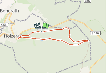

11,7 km | 16,4 km-effort

Tous les sentiers balisés d’Europe GUIDE+


Kostenlosegpshiking-Anwendung
 SityTrail
IGN / Geografische Institute
SityTrail World
Die Welt öffnet sich für Sie
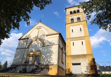
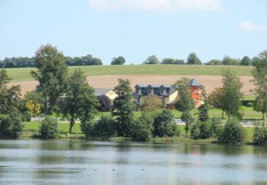
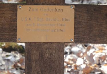
Tour Zu Fuß von 6,6 km verfügbar auf Rheinland-Pfalz, Landkreis Trier-Saarburg, Holzerath. Diese Tour wird von SityTrail - itinéraires balisés pédestres vorgeschlagen.
Trail created by Naturpark Saar-Hunsrück.
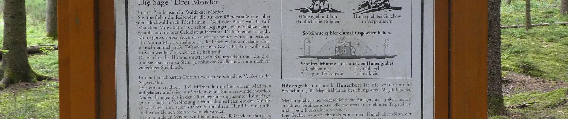
Symbol: Roter Text Ho1 in weißem Kreis mit roten Rand auf weißem Grund


Zu Fuß
Zu Fuß
Zu Fuß
Zu Fuß
Zu Fuß
Zu Fuß
Zu Fuß
Zu Fuß
Zu Fuß