


8,3 km | 10,8 km-effort

Tous les sentiers balisés d’Europe GUIDE+


Kostenlosegpshiking-Anwendung
 SityTrail
IGN / Geografische Institute
SityTrail World
Die Welt öffnet sich für Sie
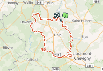
Tour Zu Fuß von 78 km verfügbar auf Wallonien, Luxemburg, Libin. Diese Tour wird von SityTrail - itinéraires balisés pédestres vorgeschlagen.
78 km à parcourir en 3 jours, c’est la randonnée que vous propose la Grande Forêt de Saint-Hubert. Une immersion totale dans l’une des plus belles régions de l’Ardenne avec des bivouacs aménagés sur l'itinéraire.
Website: https://walloniebelgiquetourisme.be/fr-be/content/entre-lesse-et-lomme-randonnee-de-78-km-en-ardenne


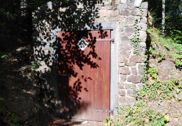
Wandern

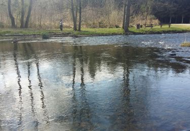
Wandern

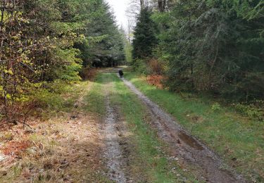
Wandern

Mountainbike
Wandern
Wandern
Wandern
Wandern
Wandern